

falls creek hinterland is A mixed terrain adventure route on pavement, gravel, dirt, singletrack and possibly snow. There are so many variations possible in this corner of the Gifford Pinchot National Forest. taken in full, it's A breathtaking ballbuster, but can be broken into several shorter loops w/ gentle gradients, smooth forest roads with multiple choose-your-own-adventure options. Staged as #3 in the unpaved/omtm ride series.
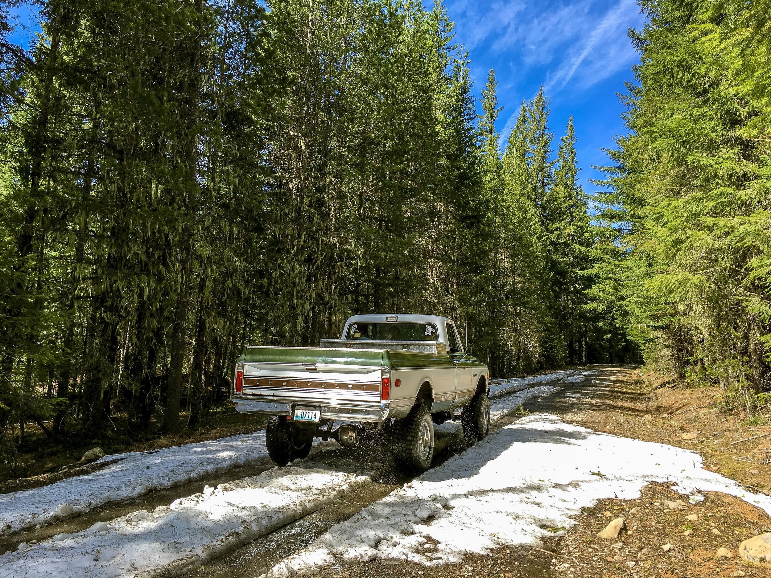
Within moments of turning onto Bear Creek Road, you are immersed in the mountains, and don't return until the end of the route. If you have time and lights - be sure to explore some of the Lava Cave. There are also plenty of camping spots along the way should you wish to take more time with your journey.
HIGHLIGHTS INCLUDE:
Bear Creek Rd / NF 68 : An endless smooth gravel climb up to Grassy Knoll with lovely views of Mt. Hood.
Crossing the Panther Creek Experimental Forest and the PCT
Panther Creek Falls and the lovely paved Panther Creek Road
The Falls Creek Lava Cave
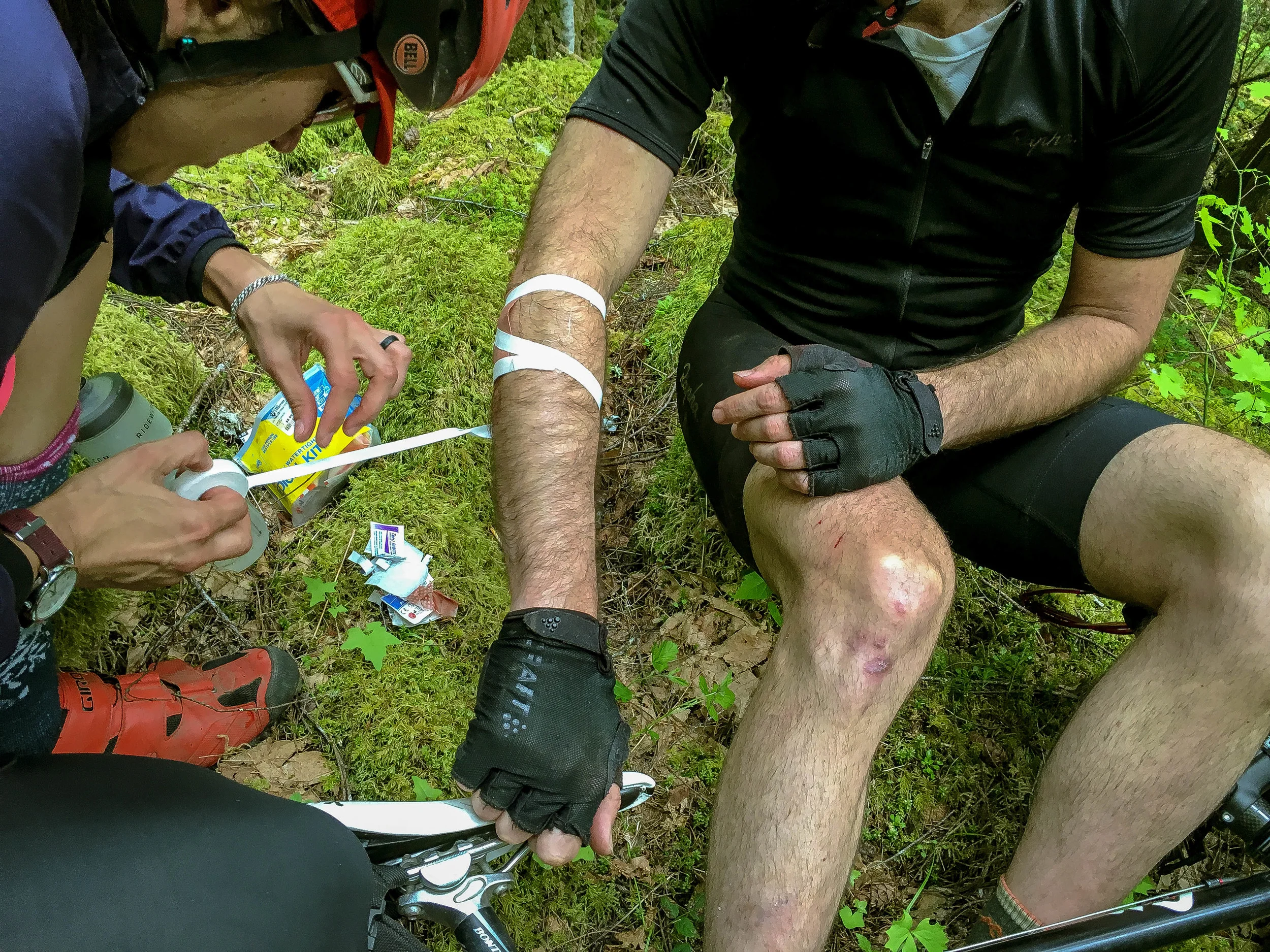
The Falls Creek Mountain Bike Trail - Advanced riders only!
Falls Creek Falls
Trout Creek Experimental Forest
NOTES
The higher elevations of the route will be under snow until about April
Many shorter bailout options in the cuesheet
Tires: 28c+ for short route, 38c + for long route with the Falls Creek Trail. Overall road conditions are very smooth except for the trail which contains some technical features - especially on tires as small as 38c. If you'd like to bypass the singletrack, I recommend taking NF 60 (Carson Guler Rd.) down to the Wind River Rd instead. This is an epic journey in itself and mostly smooth pavement. Mostly. That said - the trail journey is really the highlight of the route.
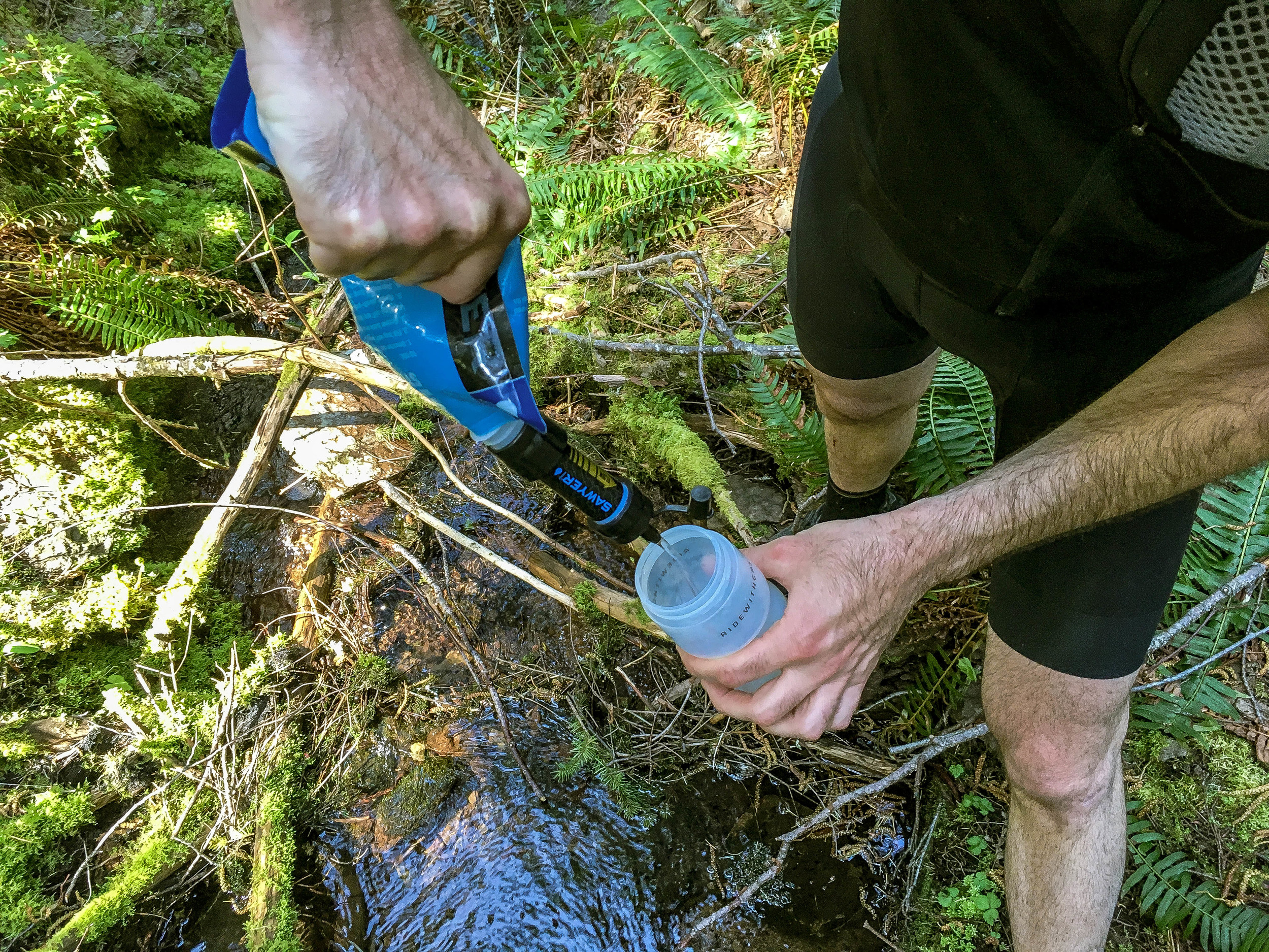
Be prepared to filter your own water from the many fresh streams


Additional Photos: #fallscreekhinterland
76 MILES
8104 FEET
ROUTE FORMAT: LOOP
SURFACE: 70% MAINTAINED gravel/dirt forest road, 10% SINGLETRACK, 20% PAVED
TIRES: MINIMUM OF 35C, 38c+ RECOMMENDED
BIKE: CYCLOCROSS/GRAVEL/RIGID 29ER
WATER/SERVICES: WATER/FOOD IN carson. two large bottle minimum. no water refills along route. have the means to filter/treat water and be prepared to do so!
FULL RIDE WITH GPS ROUTE + GPX FILE
Terms of Use: As with each adventure route guide published on OMTM.CC, should you choose to cycle this route, do so at your own risk. Prior to setting out check current local weather, conditions, and land/road closures. While riding, obey all public and private land use restrictions and rules, carry proper safety and navigational equipment, and of course, follow the #leavenotrace guidelines. The information found herein is simply a planning resource to be used as a point of inspiration in conjunction with your own due-diligence. In spite of the fact that this route, associated GPS track (GPX and maps), and all route guidelines were prepared under diligent research by the specified contributor and/or contributors, the accuracy of such and judgement of the author is not guaranteed. OMTM.CC, its partners, associates, and contributors are in no way liable for personal injury, damage to personal property, or any other such situation that might happen to individual riders cycling or following this route.