

Rancho Rajneeshee, big muddy ranch, rajneeshpuram, wildhorse canyon, washington family ranch...call it what you will, this remote and controversial valley in the southeasternmost hinterlands of wasco county has shifted identities over the years, the most infamous of which being the site of rajneeshpuram, a commune populated by the sannyasin followers of new age guru bhagwan shree rajneesh from 1981 to 1985.

The captivating cult history of the Rajneeshee era is clearly the centerpiece of this journey, and while we won't deep-dive into the historical details (other parties have clearly already covered that) we will submit this 70 mile circuit for consideration as one of the most satisfying short-form adventure cyling routes in the Central Oregon region. Remote, expansive, windswept, desolate and astonishingly beautiful, the Rajneeshpuram Roundup circuit showcases the best of Wasco and Jefferson Counties' wide-open pasturelands, arid hill country, sagebrush and basalt canyons. The loop passes through the abandoned mining district of Horseheaven and can be configured with an optional side trip out to the John Day River gorge or the Painted Hills before climbing Domogalla Canyon and dropping down into the Big Muddy Ranch from the south end of the valley.
Admittedly fascinated by the Rajneeshee phenomenon and West Coast cult history in general we were hoping to explore the site while flying beneath the radar as the ranch complex, now managed by YoungLife as a Christian retreat facility sits on 64,229 acres of very private property. A few phone calls to the ranch shot down any notions of our having free rein to explore. Unfortunately the former Buddha Hall was out. The Rajneeshee A-frame complexes were off-limits. The upper northeastern portion of the ranch was out of the question, however we were reluctantly assured we would be okay using the slightly abridged routing posted below.


Our team, consisting of Dustin Klein, Brent Wick, Ben Swanson, David Wilcox and myself, set out from a rainy pre-dawn Portland to give it a go. Thankfully dry in The Dalles and points east care of the Cascadian rain shadow, we pass through the respective rolling hills, dramatic river gorges and arid pleateaus of Dufur, Maupin and Shaniko en route to Antelope, which has no doubt experienced an uptick in curiosity tourism as of late. Located eight miles south of Shaniko Junction (itself 76 miles south of The Dalles) along a desolate and serpentine stretch of highway 218 resembling the Maryhill Loops, Antelope consists of a sleepy main street, a handful of modest residences, weathered barns, an empty schoolhouse, the defunct ex-Rajneeshee vegetarian cafe formerly known as 'Zorba the Buddha' and a makeshift mobile home serving as Antelope's post office. Outside this post office stands a solitary flagpole adorned with a placard in dedication to the community having weathered and resisted the 'Rajneesh invasion and occupation of 1981-1985'.
Oregon Outback veterans will be familiar with the stretch of Cold Camp Road and 218 running north-south through Antelope. We utilize this section at the start and finish as a necessary function of staging in Antelope. Cold Camp Road becomes NE Divide just shy of mile 10, winding gently through impossibly spacious landscapes of open range dotted with juniper shrub, bunchgrass and abundant sagebrush. Easily rivaling Montana in the 'big sky' department, this region's expansive sightlines and elegant contours create a stunning backdrop which seems to intensify, steepen and deepen with each passing mile.


Angling eastward, Gosner Road commits us to deeper and wilder country, snaking down narrow gulches, beneath dramatic rocky buttes of crumbling basalt and craggy rock-walled canyons winding up, down and through the abandoned mining district of Horseheaven. The progression is rather stark, the narrow roadbed roughening into hardscrabble doubletrack. We are truly in the desert now, the region rife with Tribulus terrestris, also known as Bindii or more commonly, goatheads! Thus begins my run-on series of flats and instructive life lesson in why tubes are wholly inappropriate for desert conditions.
More on that later.
As we mentioned, there are some optional configurations at this stage in the route involving side loops southeast to the John Day River gorge, Burnt Ranch campground or further afield to include the Painted Hills, which would make for ideal overnight or bikepacking version.


In this particular case we opted to forego the John Day side trip. At mile 32.8, the junction with Muddy Creek Road is quite easy to miss, intersecting at a sharp angle from the left. Heading north, Muddy Creek climbs 4.5 miles through Domogalla Canyon beneath calving basalt columns and steep hillsides of volcanic scree. The cattle guards embedded in Muddy Creek are clearly signed, marking the entry into private property, which for our purposes, we interpreted as 'everything on either side of the road'.
..but maybe NOT the road itself ...¯\_(ツ)_/¯?
While we certainly won't say Muddy Creek Road is officially 'open to the public', the connection DOES go through rather conveniently and we DID navigate north into Rancho Rajneeshee without incident. We even encountered a large contingent of 4x4 enthusiasts who were quite friendly. A confident wave certainly seems to go a long way out here. Eventually descending into the ranch via wonderfully circuitous Jeep trail, Muddy Creek Road merges with Zarathustra Drive... or County Road depending on your map. Certain map overlays display the 'new' names, others still using the Rajneeshee nomenclature. Regardless, it is clear the Rajneeshee era infrastructure still exists and has simply been repurposed and somewhat sanitized by the current occupants.
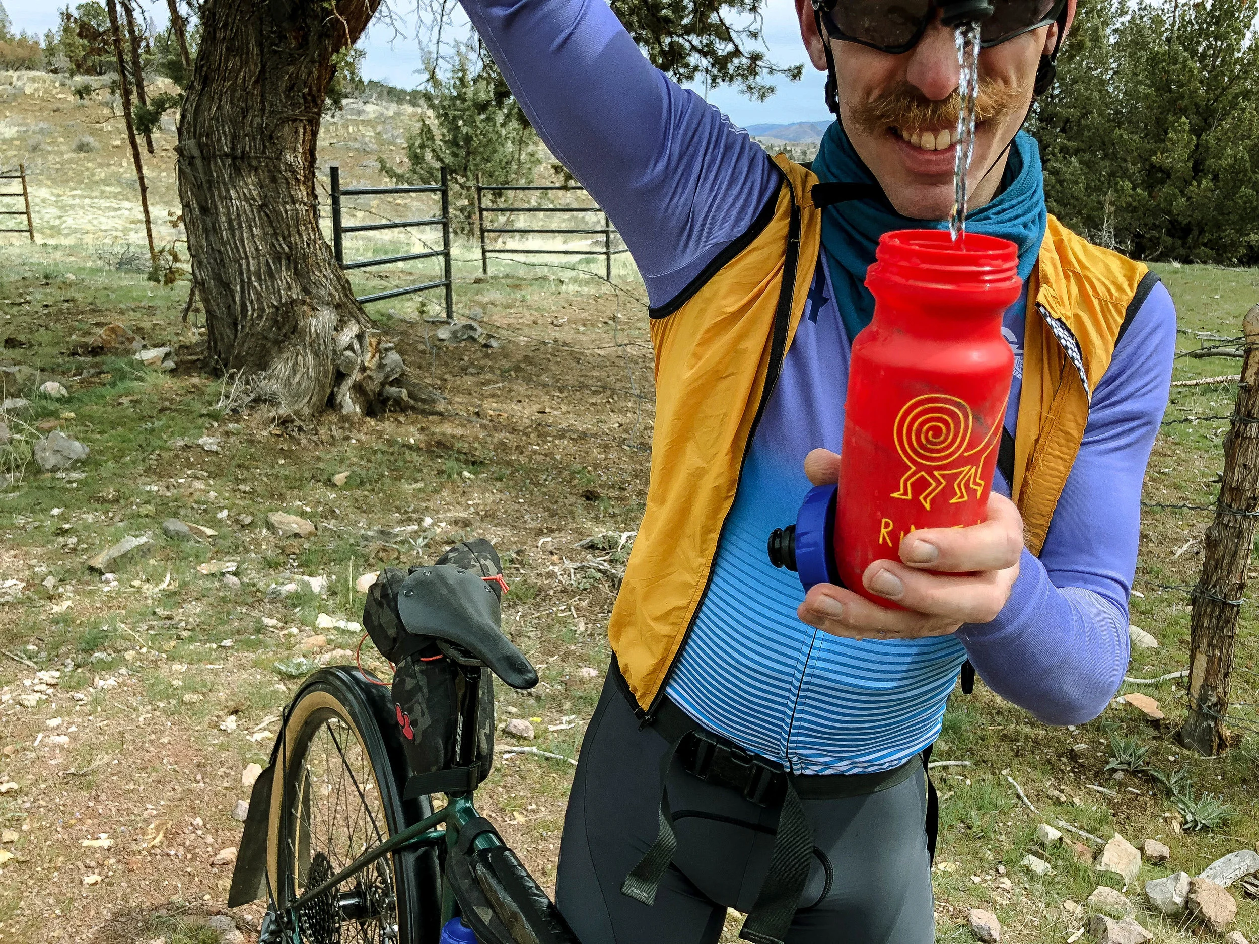
** Pro-Tip: There is a water spigot at mile 50.3 on the exterior of a service facility on the right hand side. It is one of very few water options on this route. Be warned. There are also working spigots on the deck of the last building on the left before the turnoff onto Big Muddy Road.
Descending into the ranch complex the surrounding valley feels familiar but somehow off, like coming across the M*A*S*H* set expecting the 4077th but instead finding a waterpark and luxury hotel. There is a surprising amount of new construction in what might be best described as the 'Wolf Lodge Contemporary' style, replete with waterslide features, condo units and intensively landscaped greenery. We pass several official-looking vehicles to which we issued official-seeming waves. Confident waves. Alpha gestures. They all waved back without stopping.
So far so good.


From what we could gather, the complex appears to be stratified into two distinct areas. The south end of the valley along Zarathustra Drive/County Road and Big Muddy flanking the airstrip were perfectly accessible so long as we stuck to the road. The inner sanctum, A-frames and Buddha Hall complex further up Nirvana and Zen Drives are aggressively gated with heavy 'No Trespassing' signage. So no-go on that side of things. Original Rajneeshee era facilities are scattered about the airstrip along with quite a few foundational ruins of structures long since removed. It is very much possible to ride one's bike down the middle of the very tarmac the Bhagwan and Ma Anand Sheela used to make their dramatic escapes!

A steady leak in my front tire dictated that we push onward while it still held air, stopping every handful of miles to pump back up to reasonable riding pressure. Not ideal, but manageable. The climb out the valley via Big Muddy Road is not one to be taken lightly. 2055 feet over 10 miles of exposed windswept bluster is no joke, however the road is smooth and the gradients relent...eventually. The gentle rollers of Cold Camp Road are a godsend after the epic huff out of the Big Muddy. An otherworldly diffused light plays across the rolling sage and ochre-tinged hills. We seem to float effortlessly along the glassy tarmac of 218 back into Antelope, seriously spent but spiritually satisfied.


** A few points to consider...
* There is little-to-no water to speak of along the route as shown. The water spigot mentioned at mile 50.3 is one of the only opportunities to refill. We have found that other external spigots on adjacent ranch buildings near the road to be sources of available water as well on subsequent visits. There are likely more spigots in and around the ranch complex buildings, but nothing else available along the route. Though you will encounter occasional creeks, puddles and ponds, keep in mind, this is all open ranchland and most likely contaminated w/ livestock and agricultural runoff. Your squeeze filter will not make this kind of water safe to drink! There is the river, but again, it's going to be loaded with agricultural runoff. We made it fine w/ two large bottles, refilling at the ranch, but it was mid-April and 55 degrees. In warmer + drier times of year we would advise no less than three bottles. Avoid riding this in the dead of summer as it is full exposure with very little shade, no services and almost no water. Common sense stuff but...
* This region is prime goathead territory. The thorny fruit of the Tribulus terrestris plant is a spiky, hard nutlike kernel with two to four sharp thorns the size of thumbtacks. It's literally everywhere out here. These will flatten anything running tubes multiple times over however due to the relatively small size of the punctures, tubeless tires do very well w/ self-sealing the tiny holes. We cannot emphasize enough how highly we recommend only running tubeless setups when venturing off the beaten path in these high desert areas.
* Though the route as marked uses open county roads on public right-of-way, the facilities at the Washington Family Ranch are private, so water refill and/or exploration of the property is not guaranteed.
* This is an isolated and extremely remote region of Central Oregon. Cell phone signal is virtually nonexistent. Everyone has a different comfort threshold for this kind of thing, but having a mechanical or emergency deep in some of these remote areas will require a level of self-reliance that is out of some people's comfort zones. File a flight plan. Use the buddy system. Bring extra tubes and for Bhagwan's sake DON'T venture out here without the route on your GPS!
69.4 MILES
7204 FEET
ROUTE FORMAT: tootsie roll loop
SEASON: spring + fall are optimal
SURFACE: 90% gravel 10% paved
TIRES: tubeless only. MINIMUM OF 33C. 40C+ RECOMMENDED
BIKE: CYCLOCROSS/GRAVEL/adventure/allroad
WATER/SERVICES: NO SERVICES
FULL RIDE WITH GPS ROUTE + GPX FILE
REVERSE ORIENTATION
The route also happens to be great in reverse orientation, but not without certain unique challenges. The numbers end up about the same, but if you are considering running it in reverse, we’ve got a few pros and cons to chew on, paramount of which being that heat and exposure dictate that the reverse orientation is really only something you’d want to do below 70-75 degrees.
Pros: the visual sightlines are incredible. Due to the pacing of the climbs there will be more quality time spent steeping in the most visually stunning sections like Domogalla Canyon and Horse Heaven. The original (anti-clockwise) orientation blasts through these areas as massive descents, so a lot of the nuance and scenic detail tends to get lost.
Additionally, the descent into the Big Muddy right off the top is really, really fun. It’s a bit like a roller coaster slowly ratcheting over the hump. When the drop comes, it is ten miles and 2055 feet down to the ranch. The rocky canyon forms on the way into the ranch take on quite a different dimension in this orientation, reminiscent of Utah desert features.
Cons: there is no way of getting around the fact that it is harder. Twenty miles of punchy rollers are just easier with fresh legs on the front end of a ride. Psychologically as well, they just wear you down on the back end as the punches keep coming and coming. With the original orientation, sure there’s that pesky 10 mile slog out of the canyon, but it’s honest. It’s flat, smooth, straight and you can see the top, so it what it is and what it is really isn’t that bad if you see it coming.
Water refill also plays into this orientation. Clockwise, your only opportunity is effectively 25% of the way in vs. at the 75% mark in the original. One is clearly more helpful in context than the other. Heat and exposure dictate that the reverse orientation is really only an option below 70-75 degrees.
Prevailing winds are also a factor. Having done this three times now, I feel like the winds have been pretty consistently blowing NW to SE. The original (anti-clockwise) orientation always seems to benefit from a spirited tailwind on most of the first half. The effect in reverse is that the wind kicks a rider when they’re already down, rationing water, climbing 20 miles of punchy rollers into a stiff headwind.
Did I mention that it looks really cool though?
Terms of Use: As with each adventure route guide published on OMTM.CC, should you choose to cycle this route, you do so at your own risk.
1. The www.omtm.cc site and @omtm.cc Instagram account (collectively, the “Site”) are owned and operated by Our Mother the Mountain LLC (“OMTM”). The Site is primarily a creative project presented by OMTM and other contributors, but it is increasingly being used as a resource for other cyclists seeking challenging and compelling cycling routes. As such, we want to be clear about what the Site is and is not.
2. It is a creative project and may be used as (a) one resource (of many) for potential routes and (b) a source of inspiration for cyclists.
3. It is not designed to be a replacement for your own diligence and judgment. You should engage in significant additional diligence, and use your judgment regarding the route and your abilities, before embarking on any route described on the Site. You are solely responsible for obeying all public and private land-use restrictions and rules, carrying proper safety and navigational equipment, and following the #leavenotrace guidelines.
4. The information on the Site is for general information purposes only. While we made reasonable efforts to ensure the information was up-to-date and correct when it was posted, the information may be incorrect, incomplete, or outdated. We make no representations or warranties about the completeness, timeliness, accuracy, reliability, or quality of the information. Nor are we able to promise anything regarding weather, route conditions, or route availability. Everything is provided on an “AS IS” and “AS AVAILABLE” basis, and any reliance you place on information available through the Site is at your own risk.
5. Without limiting the foregoing, OMTM is not responsible for GPS content provided by third-party contributors or third-party sites or platforms (such as Discord, Google Groups, and Strava Club) that may be linked or referenced on the Site: we do not own or operate such sites or platforms and are therefore unable to vouch for any content on those sites or platforms.
6. Cycling is an inherently dangerous activity, and we are unable to control the actions of third parties (including without limitation other cyclists or users of the routes). As such, the Site is not designed (or able) to reduce or eliminate your risk of injury, death, or property damage. We assume no responsibility for injury, death, or property damage.
7. You and your heirs, personal representatives, and assigns, agree to indemnify, defend, and hold OMTM, its owner(s), and all OMTM contributors harmless from and against any claims arising out of or related to your use of the Site.