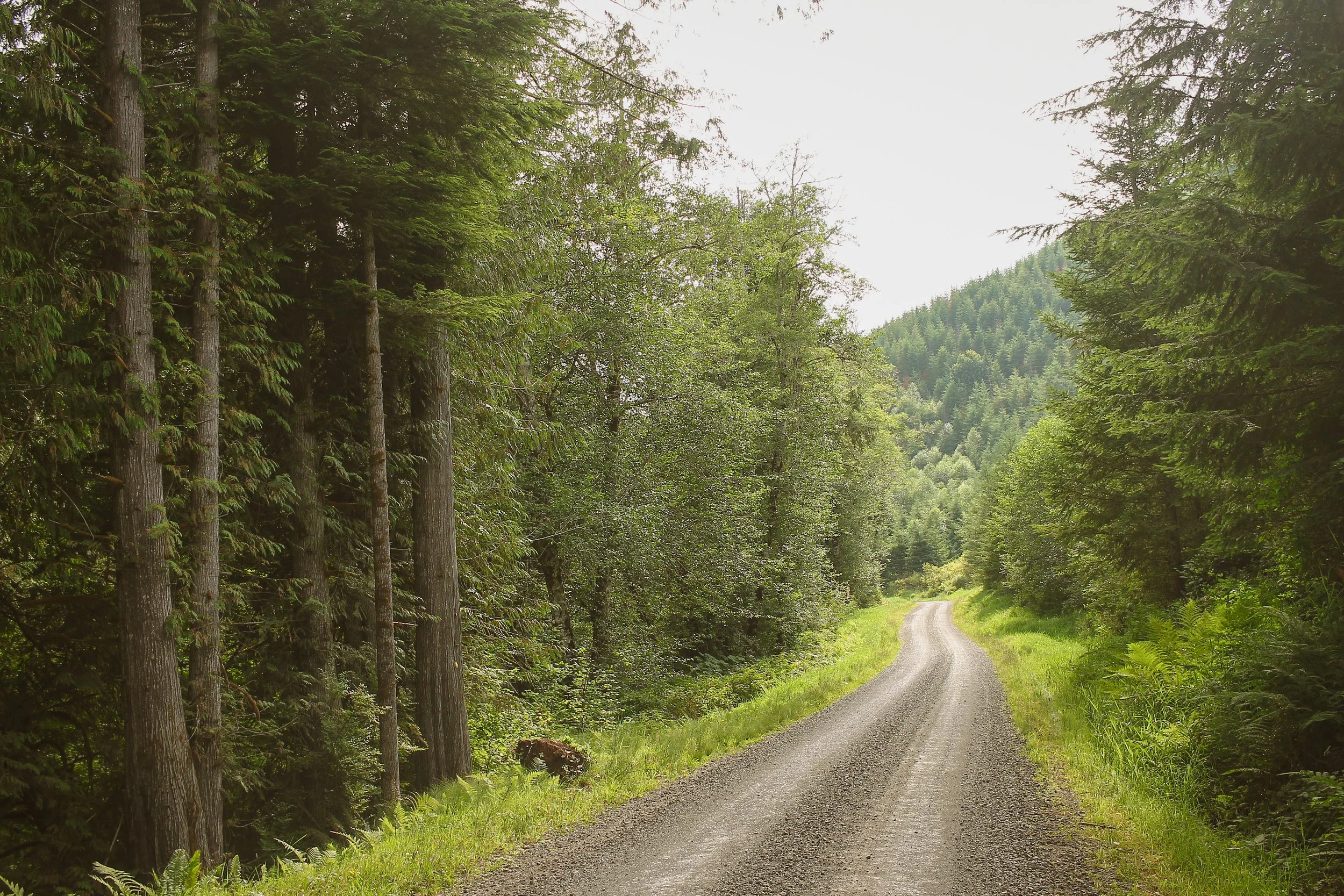
The Nestucca River Ramble is a dynamic mixed-terrain adventure ride showcasing the best of Oregon wine country, Coast Range foothills and Siuslaw National Forest. Expect quiet rolling gravel backroads, hidden waterfalls, and shady river valleys. Four route varietals present a robust experiential menu with options for every level of rider.

Staging out of McMinnville, all route versions climb west along the Baker Creek watershed toward Bald Mountain and the Nestucca headwaters. Courses diverge near Ball Bearing Hill and the McGuire Reservoir with the shorter two splitting at miles 20 and 26. The longer options continue west along smooth backcountry forest roads through the Tillamook State Forest to return via the sublime and scenic Nestucca River recreation corridor.
To be clear – this is not a race. Quite the opposite in fact. This is intended to be ridden at your own pace, however you please. This is an opportunity to linger, engage with your surroundings and other riders. Make new friends, snap lots of photos, share snacks by a waterfall, take a dip in the river, co-mingle, cross-pollinate and steep in the wonder, majesty and mystery of the Oregon Coast Range.
Congratulations. If you’re reading this, you will be joining us for the Nestucca River Ramble April 13th! Here’s everything you need to know!
Here’s how it works: this ride is effectively free. Just register, show up and ride. All registration fees will be donated to the Cycle Yamhill County’s Panther Creek Trails project. Simply select your desired donation tier, $10, $25 or $50 and you will receive email confirmation with details, specifics, and pertinent day-of route information. That’s all there is to it!
Saturday, April 13th. McMinnville, OR
Start: Oregon Mutual Insurance. 400 NE Baker St, McMinnville, OR
Start Times:
Endurance Plus – 8am
Endurance – 9am
Standard – 9am
Light – 10am
Due to the range of mileage between different route versions, we highly suggest staggering start times according to your corresponding route. This eases initial rollout through town, minimizing traffic impact, and increases the likelihood of riders from various routes finishing within a relatively similar timeframe.


Route particulars
friday
bainbridge ferry to Quilcene
58.3 miles | 4872 ft | 85% paved, 15% singletrack | 38c min – 45c recommended
8am Meetup – 8:45 Roll | Rapha Seattle Clubhouse 301 E Pine St, Seattle, WA
The 58 mile ramble from the Bainbridge Ferry to Quilcene may be familiar to some. Highlights include 8 miles of Port Gamble singletrack, the town of Port Gamble itself, the roller-coaster descent through Shine, a mid-ride dip at the Wm R Hicks Beach Park and the enchanted rolling backroads of the Toandos Peninsula. The Port Gamble trail section runs the gamut from smooth gravel forest roads to mildly technical XC singletrack. Our line sticks to drop bar friendly territory and predominantly dreamy-flowy, deeply-forested terrain with plenty of food and bevvie opportunities at the end of the tunnel in Port Gamble.
Ride will roll out from the Rapha Seattle clubhouse at 8:45 to the Seattle Ferry terminal to catch the 9:35 ferry to Bainbridge.
saturday
Saturday’s adventure features a self-supported, mixed-terrain ramble through the Olympic National Forest in three flavor varieties: 53.6 miles, 37 miles and an allroad 31.8 mile loop, which sidesteps any and all singletrack. The 58 and 37 mile variations include the Lower Big Quilcene trail, which is 6.2 miles of moderately technical backcountry singletrack. All three route options start and finish together – roughly the first and last 6 miles is common to all route variants. *Be aware that Saturday’s routes are backcountry national forest roads with no services. Be prepared to filter water from any number of creeks and streams along the way.
Mt. Zion Edition
53.6 miles | 6128 ft | 60% maintained gravel, 30% paved, 10% singletrack | 42c min – 2” plus | water filter highly recommended
10am Meetup – 10:30 Roll | Mt. Walker Inn 61 Maple Grove Rd, Quilcene, WA
This spirited 53.6-mile adventure showcases the best of the Olympic National Forest’s eastside. The route climbs west out of Quilcene, gently up through primeval forests of Sitka spruce, Douglas fir and western red-cedar before dropping into the Big Quilcene watershed. The route picks up the Lower Big Quilcene Trail at mile 6.5, descending along steep, densely forested ravines, crossing the Big Quilcene river multiple times over rustic forest service bridges. The trail is a mix of moist, earthy needled duff and damp roots and rocks. Steepening northward, a fresh re-route navigates a sequence of switchbacks before angling up out of the valley to the Marmot Pass trailhead at mile 12.7. From here, the route climbs a mix of paved and maintained gravel forest roads to Bon Jon Pass onward to the wild and wonderful two-track of 2849. Riders then descend Salmon Creek Road before turning southward toward Lord’s Lake reservoir for a smooth, rolling glide back into Quilcene. *Note: you will want to bring a water filter for refill.
Gold Creek edition
37.1 miles | 4826 ft | 50% maintained gravel, 30% paved, 20% singletrack | 42c min – 2” plus | water filter highly recommended
10am Meetup – 10:30 Roll | Mt. Walker Inn 61 Maple Grove Rd, Quilcene, WA
This well-rounded adventure shares a common front end with the Mt. Zion Edition – that means, the same trail section, the same wonderful forest road climbing up toward Bon Jon Pass, where the courses diverge. At mile 27.4, the Gold Creek Edition descends (you guessed it) Gold Creek Road toward Lord’s Lake and a series of gentle serpentine rollers back to Quilcene via Lord’s Lake Loop road.
Gold Creek ALLROAD Edition
31.8 miles | 4152 ft | 60% maintained gravel, 40% paved | 38c min – 45c recommended | water filter highly recommended
10am Meetup – 10:30 Roll | Mt. Walker Inn 61 Maple Grove Rd, Quilcene, WA
This edition simply cuts out the Lower Big Quilcene Trail, opting to stick to the lovely paved climb of 2812-281 before rejoining the other routes at mile 12.2. This edition is for the the skinnytire crowd and those looking for a bit less bob-n-jostle. After reconvening with the rest of the routes at mile 12.2, this edition is identical to the version above.
sunday
Quilcene to Bainbridge Ferry
56.8 miles | 4874 ft | 85% paved, 15% singletrack | 38c min – 45c recommended
9am Meetup | Mt. Walker Inn 61 Maple Grove Rd, Quilcene, WA
Sunday’s route back to the Bainbridge ferry is simply the reverse orientation of the ride out, with some slight adjustments through the Port Gamble trails to optimize for directional flow. Downtown Port Gamble still makes a great mid-ride snack stop, as does the market on Bainbridge near the ferry. Once back on the Seattle side, riders roll back to the Rapha Seattle clubhouse for a low-key finale party and to redeem your tokens for treasure. Our partners have been super generous so there are enough treasures for everybody!