

Congratulations. If you’re reading this, you will be joining us for the Teanaway Ridge Rally July 26-27th! Here’s everything you need to know!

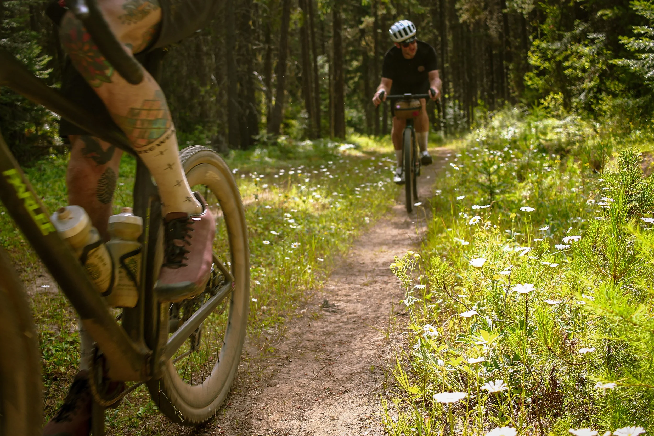
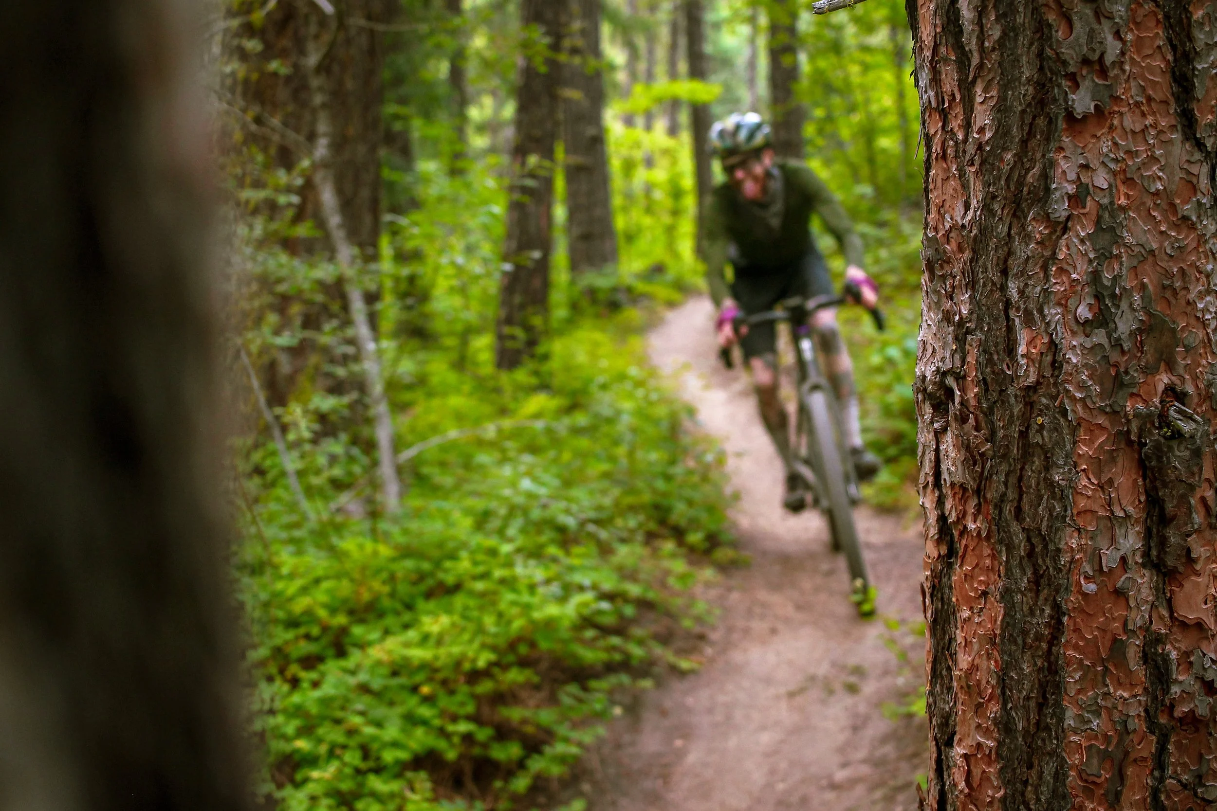
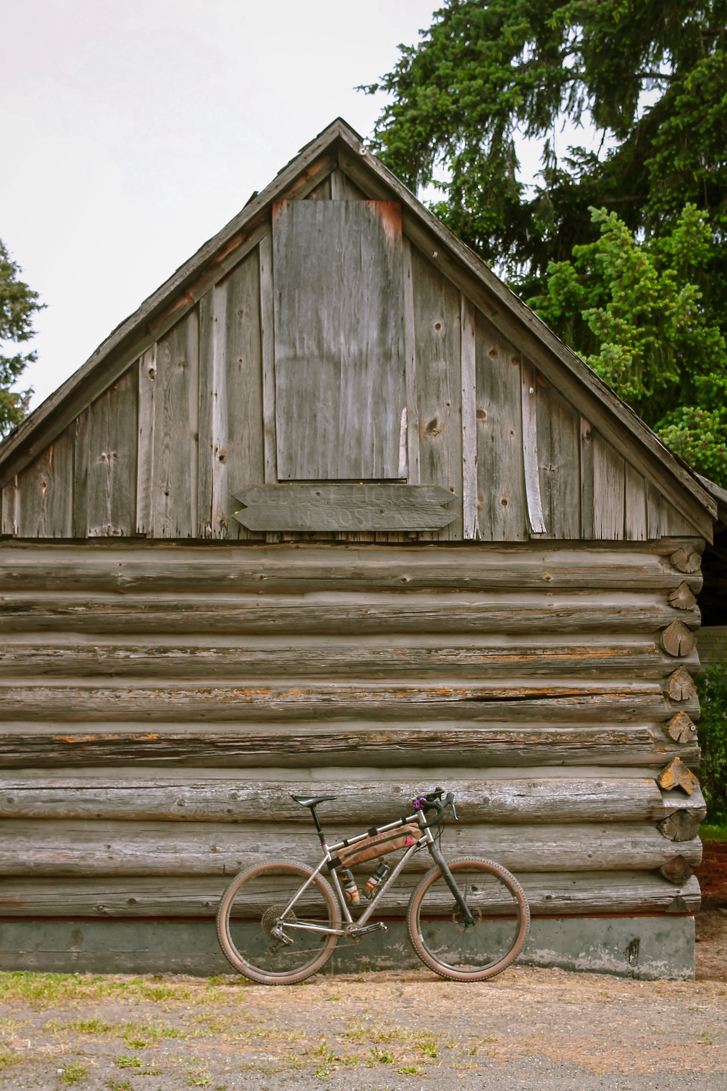
The Teanaway Ridge Rally is a collaborative Rapha x OMTM ride experience featuring two days of ultra-premium adventure riding through the sublimity of Washington’s central Cascades. The Teanaway Ridge Rally blurs the line between gravel and mountain biking. Three tiers of curated route options present riders with a dynamic mix of backcountry forest roads and singletrack. Staging from Roslyn, the itinerary will feature aprés gravel happy hours, mammoth sandstone slabs, riverdips, and plenty of communal hangtime.

To be clear – this is not a race. Quite the opposite in fact. This is intended to be ridden non-competitively at your own pace, however you please with whomever you please. This is an opportunity to linger, introspect, engage your mind and body, align with your surroundings, make new friends, snap photos, swim in the river, co-mingle, cross-pollinate and steep in the wonder, majesty and mystery of riding bicyles through wild spaces.

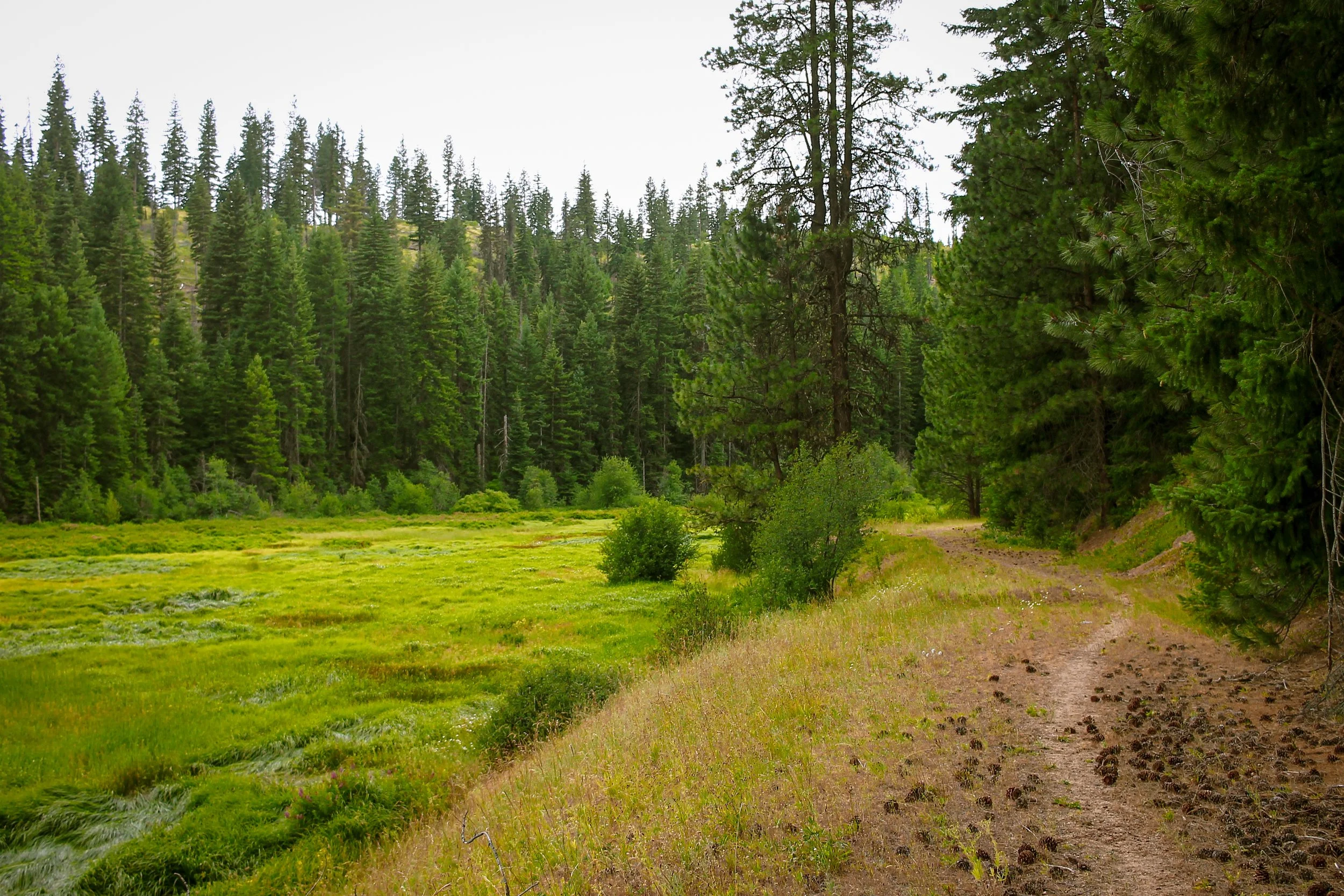
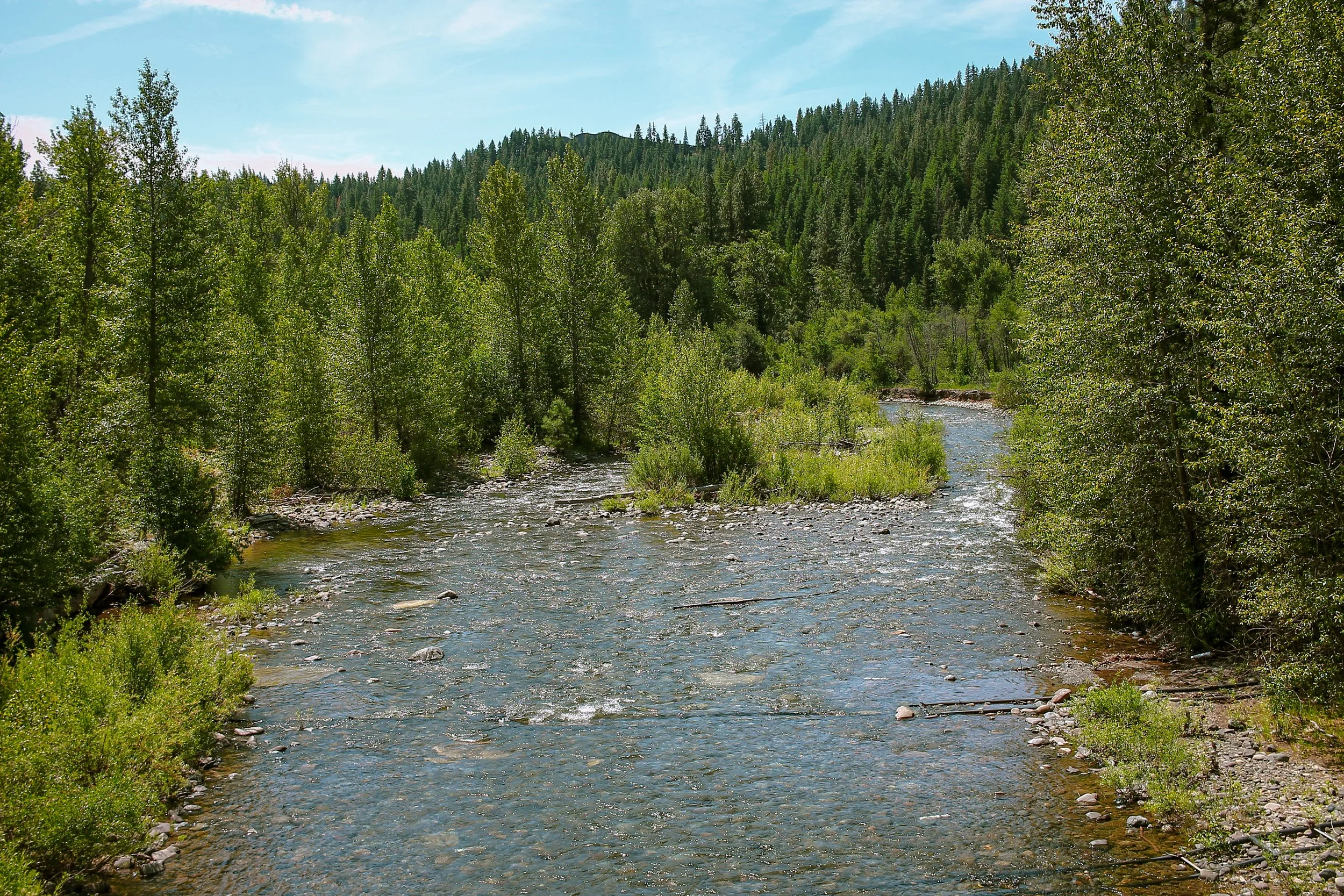
The Teanaway Community Forest encompasses more than 50,200 sprawling acres of expansive river corridors, mammoth slabs, sandstone featurettes and a vast array of primitive backcountry trails throughout the Yakima Basin. As North, Middle and West forks of the Teanaway River converge, the Valley headwaters region is an experiment in collective stewardship. This large-scale restoration of watersheds, habitat and wildlife corridors shapes the basin’s unique character. Hundreds of decommissioned logging roads are slowly reclaimed by nature, many former roadbeds bear faint impressionistic through-lines kept open by animal tracks and bike tires. This process of re-wilding gives the Valley a very distinct, very remote feel of a landscape in recovery.


Route Details | SATURDAY
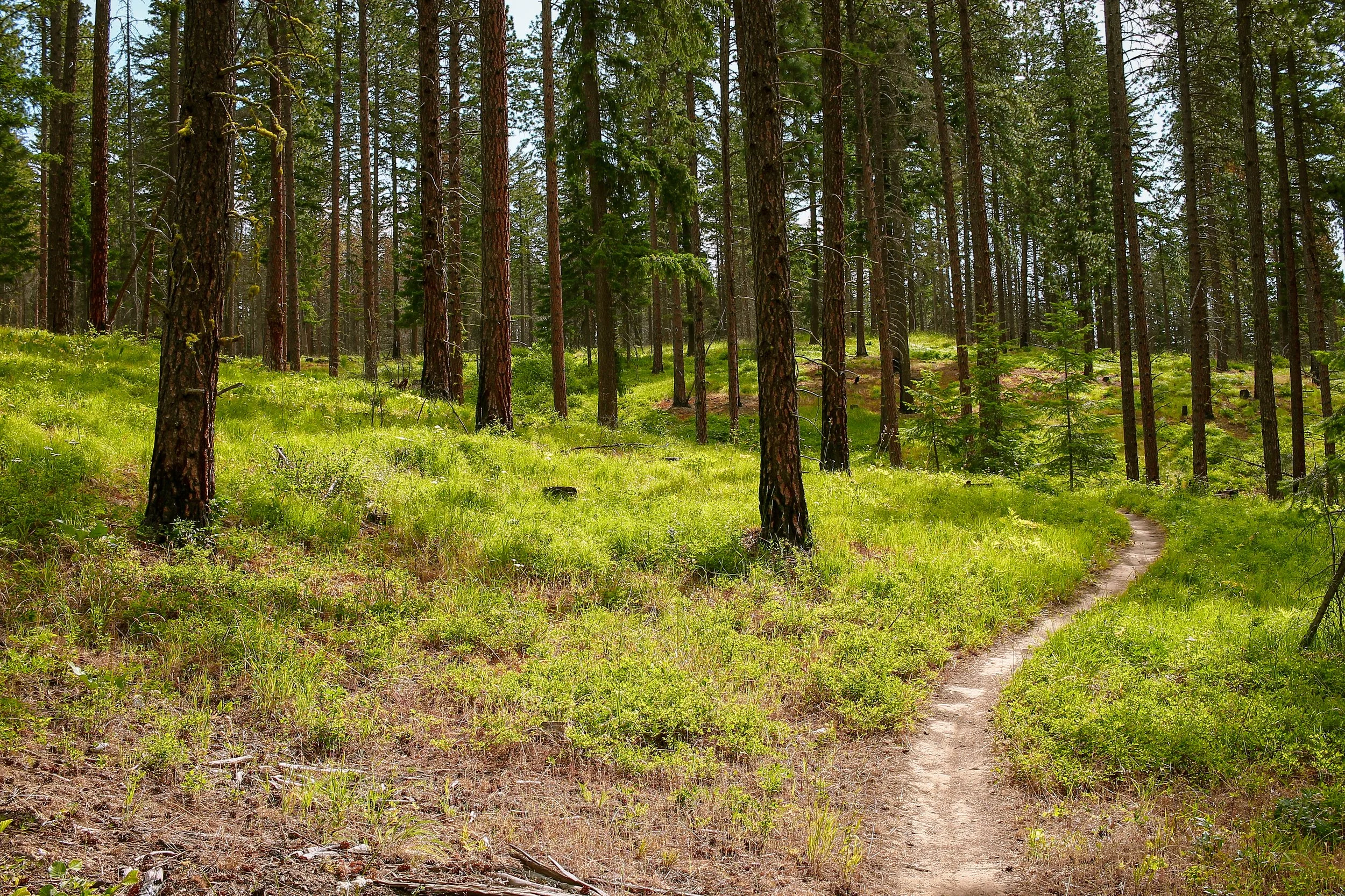
Starting and finishing in downtown Roslyn, Saturday features a self-supported, mixed-terrain adventure ride in three flavors: a big, bold endurance-grade 40-mile Teanaway XL loop and a Medium-yet-no-less-action-packed 28-mile variation and an Extra Lite 10-mile ridge and trail loop. Why so short? The steep, arid, sandy, loose and singletrack-intensive nature of the riding here is a lot more taxing than you might expect. It helps to think of this terrain in terms of mountain bike numbers. All routes are frontloaded and backended with singletrack. The big loop is going to be hard, even at only 40 miles. Even the shorter editions will be harder and take longer than you expect.
Below you will find links to the Teanaway Ridge Rally route collection in addition to the links, stats, details and descriptions of each of the individual route variations. Routes will need to be loaded prior to rolling out on the 26th. Pro-tip: copy route each you are considering riding to your Ride w/ GPS account and pin from there to sync to your devices. Questions about the process? Learn more here. If you are having trouble accessing the routes email jack.brace@rapha.cc and we’ll get you sorted.


teanaway: xl
41 miles | 5104 ft | 60% singletrack, 30% primitive backcountry gravel, 10% paved | 45c min – 2” plus | water filter required | hardtail with dropper post is ideal.
8am Meetup – 8:30 Roll | Roslyn Pioneer Park | Roslyn, WA
This spirited 40-mile backcountry circuit out of Roslyn showcases a pristine and challenging cross-section of the Teanaway Basin, crisscrossing Cle Elum Ridge to descend the Upper Big Sandy Trail en route to the colossal Carlson Canyon slab and Cheese Rock. At the risk of repeating ourselves – the dry, sandy, steep, slow-going nature of this region rides a lot harder than 40 miles sounds. Trust us. 40 miles will take all day. The loop consists of three major climb/descent sequences: Cle Elum Ridge, the formidable singletrack of the Rye Creek burn zone then back up over Cle Elum Ridge. The third climb is a challenging combination of steep grades, primitive moto track and large pockets of beach sand but does set up riders for the glorious final descent back into town. Be aware that this route traverses deep, remote backcountry forest areas with limited available services and intermittent water sources. Be prepared to filter water from the sources marked within the route. While all of this is gravel bike accessible – a hardtail, and more specifically, a dropper post are going to be the optimal setup here and generally more fun.


Highlights
Cle Elum Ridge climb. This frontcountry singletrack and gravel climb gains 1300 feet up with relatively stout gradients in the 10-12% range. A perfect challenge-to-payoff ratio.
Big Sandy Trail bomb into Carlson Canyon. This rowdy 4 mile trail descent dips, dodges and rambles deep into Carlson Canyon.
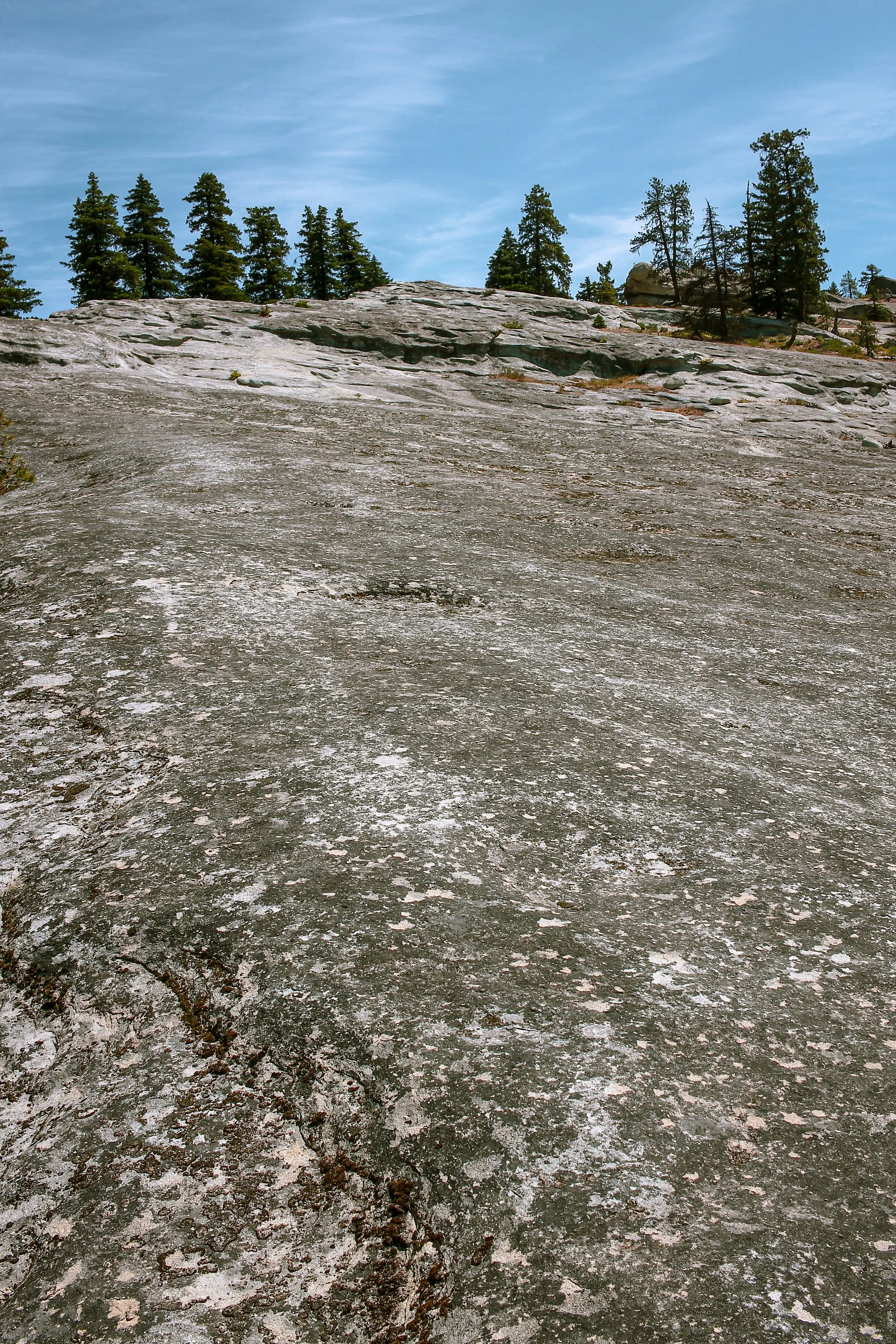
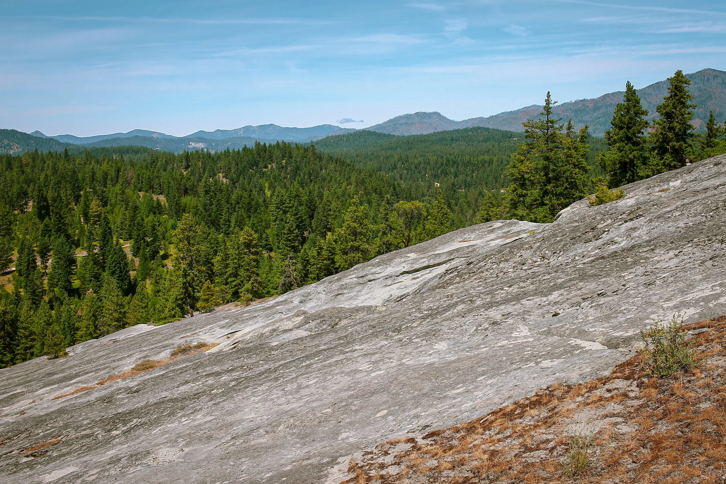
Carlson Canyon sandstone slab feature. An absolutely massive geological wonder that can be ridden by those with advanced handling chops and a keen instinct for self-preservation. Caveat: not recommended for riders without dropper posts. There is a straightforward ride/walk around line that stays to the left/bottom of the slab.
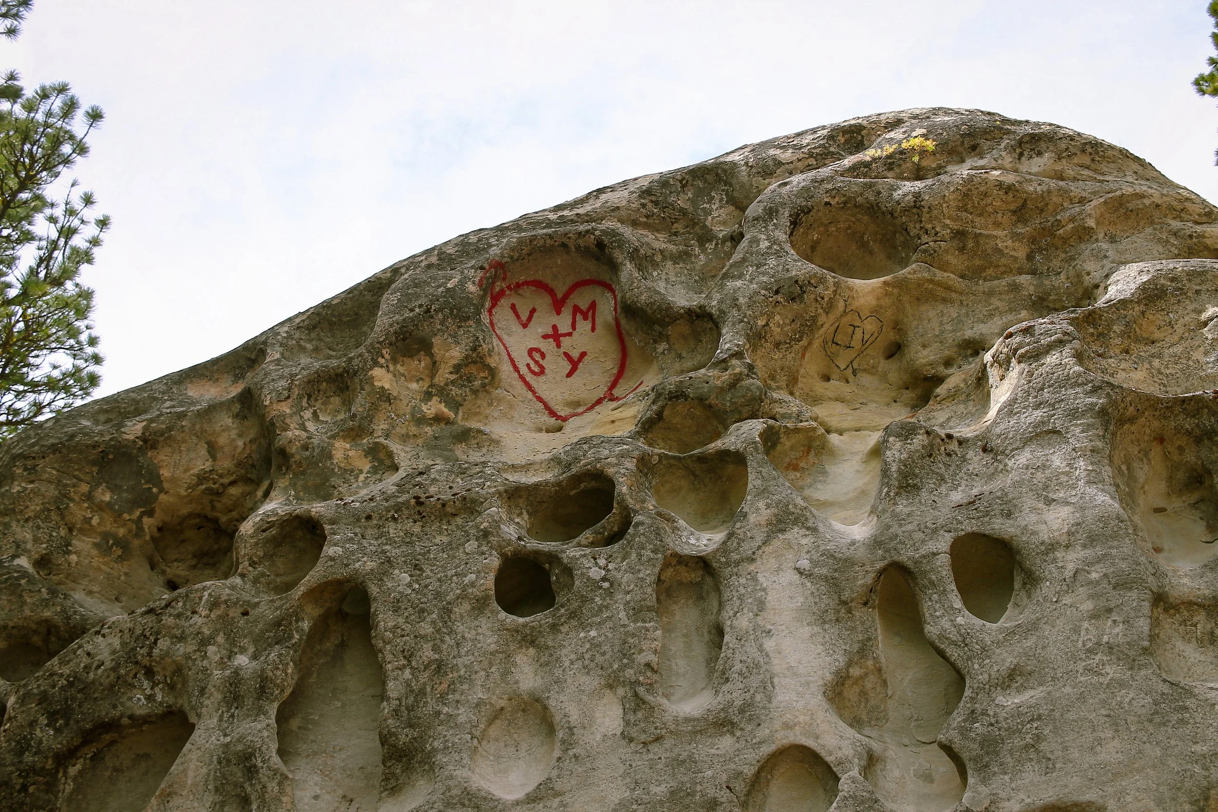
Cheese Rock & Bible Rock. Two highly intriguing sandstone outcrops shaped by erosion.
Teanaway Country Store. A tiny pocket of ultra-curated food, drink and premium provisions in a vast sea of wildness.
The challenge of Rye Creek’s prickly burn-zone is matched only by the epic gravel descent into the Middle Fork Teanaway. That is to say it is worth every pedalstroke.
Indian Camp water stop. A vibey little river spot perfect for filtering water and dipping one’s feet on a hot day.
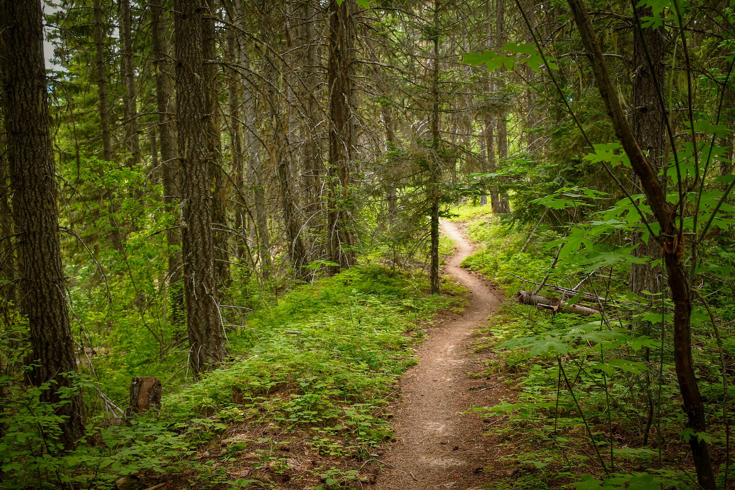
Mixtape trail descent. This singletrack line into Roslyn’s east end just be the most satisfying thing you’ll ride this season.
Caveats: the XL edition requires copious amounts of difficult climbing and will take longer and be harder than you anticipate. Please choose your route wisely – this being deep, remote and frequently gated backcountry intercut with hundreds of miles of semi-official trail – bailouts and car-accessible areas are almost nonexistent beyond a certain point.
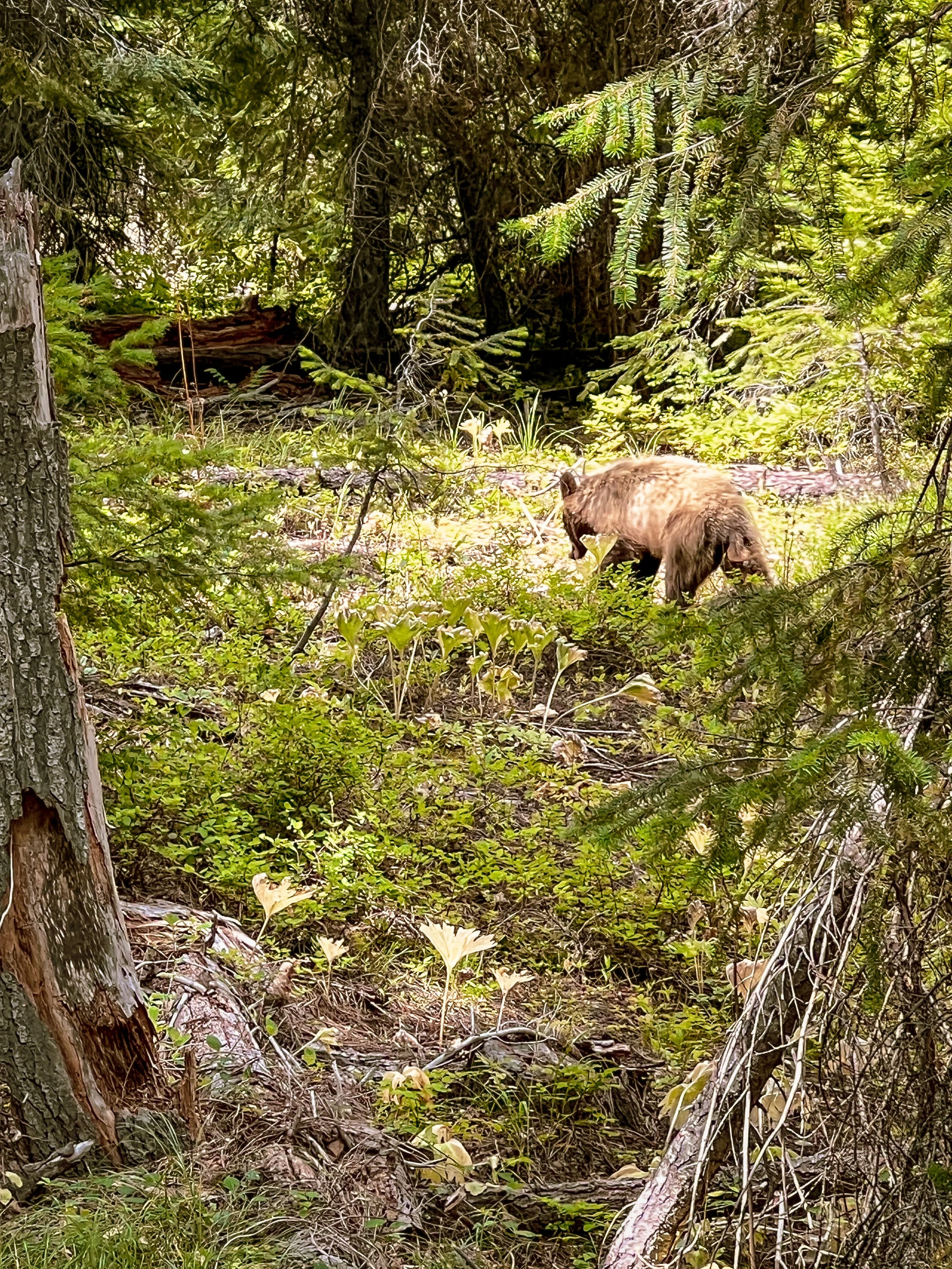
Bears are VERY MUCH a thing out here. We have encountered bears every time we’ve ridden in the Teanaway so be aware and stay alert. Give them plenty of space.


teanaway: MEDIUM
28.3 miles | 4000 ft | 40% singletrack, 55% primitive backcountry gravel, 5% paved | 45c min – 2” plus | water filter required | hardtail with dropper post is ideal.
8am Meetup – 8:30 Roll | Roslyn Pioneer Park | Roslyn, WA
This 28.3 mile version is identical to the XL with two exceptions: this edition cuts out the middle climb and all of the transport to and from. Due to the shorter mileage, this variation also includes an optional out and back to a second slab feature: Mammoth Rock. This is of course optional. At the risk of repeating ourselves – the dry, sandy, steep, slow-going nature of this region rides a lot harder than the mileage sounds. The Medium configuration consists of two major climb/descent sequences: Cle Elum Ridge the first time, then Cle Elum Ridge, you guessed it, the second time. The final climb is a challenging combination of steep grades, primitive moto track and large pockets of beach sand but tees up riders for the glorious final descent back into town. Be prepared to filter water from the sources marked within the route. While all of this is gravel bike accessible – a hardtail, and more specifically, a dropper post are going to be the optimal setup here and generally more fun, particularly if you want to ride the slabs.
Highlights
Cle Elum Ridge climb. This frontcountry singletrack and gravel climb gains 1300 feet up with relatively stout gradients in the 10-12% range. A perfect challenge-to-payoff ratio.
Big Sandy Trail bomb into Carlson Canyon. This rowdy 4 mile trail descent dips, dodges and rambles deep into Carlson Canyon.
Carlson Canyon sandstone slab feature. An absolutely massive geological wonder that can be ridden by those with advanced handling chops and a keen instinct for self-preservation. Caveat: not recommended for riders without dropper posts. There is a straightforward ride/walk around line that stays to the left/bottom of the slab.
Cheese Rock & Bible Rock. Two highly intriguing sandstone outcrops shaped by erosion.
Teanaway Country Store. A tiny pocket of ultra-curated food, drink and premium provisions in a vast sea of wildness.
Not as many miles of downed trees as the XL edition. Just sayin’.
Mixtape trail descent. This singletrack line into Roslyn’s east end just be the most satisfying thing you’ll ride this season.
Bears are VERY MUCH a thing out here. We have encountered bears every time we’ve ridden in the Teanaway so be aware and stay alert. Give them plenty of space.

teanaway: extra lite
10 miles | 1656 ft | 80% singletrack, 10% backcountry gravel | 45c min – 2” plus
8am Meetup – 8:30 Roll | Roslyn Pioneer Park | Roslyn, WA
This 10 mile Extra Lite edition shakes out the legs with some spirited rambling through the Roslyn Urban Forest. Sticking to the Cle Elum Ridge area, the Extra Lite does the same initial climb and final descent as the other routes, just without all the stout climbs and remote backcountry in between. Consider this one a tasting menu – all the flavor, none of the calories.
Highlights
Cle Elum Ridge climb. This frontcountry singletrack and gravel climb gains 1300 feet up with relatively stout gradients in the 10-12% range. A perfect challenge-to-payoff ratio.
Experience a lush cross-section of Roslyn’s Urban Forest trail system.
Mixtape trail descent. This singletrack line into Roslyn’s east end just be the most satisfying thing you’ll ride this season.


Route Details | Sunday
Here’s the thing, hard riding is fun until it’s not. Sometimes the last thing you want after a day of hard riding is another day of hard riding. As with last year’s Entiat Ridge Rally, we believe a nice chill social ride is just the ticket on day two. Sunday will feature a socially-paced chill trail ride with an open-ended finish so folks can head home if they need to or keep riding and explore additional trails as the spirit moves. All trails will be drop-bar appropriate and relatively mellow.
TEANAWAY: sunday SOCIAL TRAIL LOOP
10 miles | 1600 feet | 97% singletrack, 3% unpaved community trail | 45c min – 2” plus
9am Meetup – 9:30 Roll | Roslyn Pioneer Park | Roslyn, WA
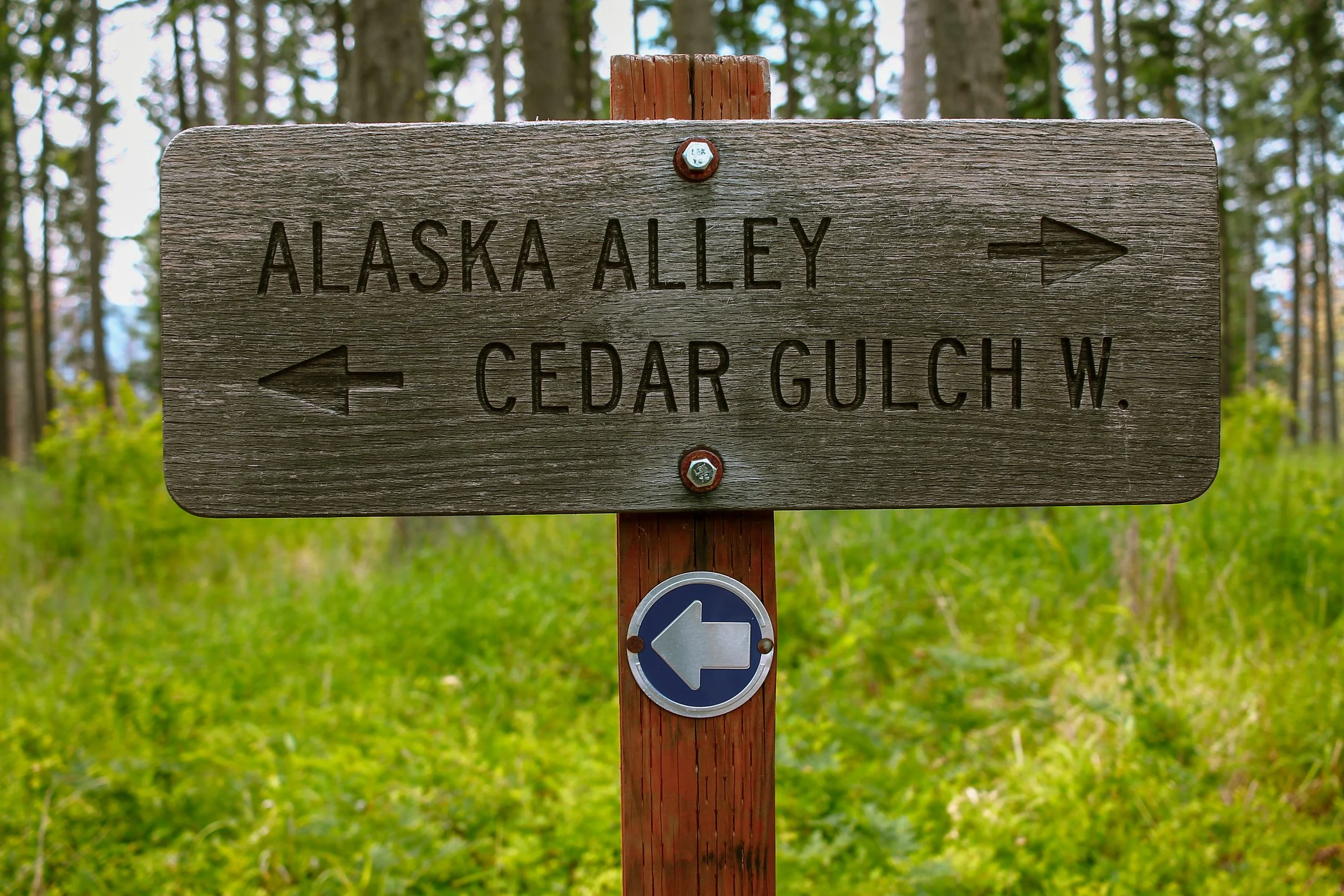
Sunday’s lineup kicks off around 9:30 at a social pace and climbs the Ewok Trail up to the ridge where riders will have the option to descend the Brass Monkey Trail or Mixtape (the final descent from Saturday’s ride). In all honesty, Mixtape is so good, it’s easily worth riding twice. Brass Monkey tends to be a bit more mountain-bikey, with pockets of sandy, loose rocky tech and some jumps, all of which have obvious ride-arounds. If more riding is desired, we’d encourage folks to take another lap and explore some of the other down-trails. Beer Can and Rat-Pac are worthy contenders. We also recognize that as the weekend draws to a close, folks will need to start packing up to head home, so the idea is to wrap up between noon and 2pm.

FAQ:
Q: Is this a mountain bike or gravel ride?
A: It is an adventure ride, encompassing elements of both, but leaning heavy into the singletrack camp. A lot of the terrain is very steep, very sandy and very loose. Bring your handling chops and keep your wits about you. Particularly if you plan to ride the slab features.
Q: What is the ideal bike for this?
A: A hardtail is going to be the optimal ideal here. A capable drop bar gravel/adventure bike with a minimum of 45c – 55c/2” tires will also work fine. Gearing is going to be critical because of the steep grades. MTB gearing will obviously work best, but a 32t - 40t ring w/ a 10 or11-52t modern adventure gear range is ideal. Roadie or ‘Unbound gravel’ gearing is going to be less than ideal.
Q: What do you mean by ‘Self-Supported’?
A: This means riders must carry everything related to water, nutrition, tools and gear to complete the ride. There will be no ride support provided along the way. There is one store midway through the Medium and XL routes, but it is generally good practice to bring everything you will need and simply consider the store a bonus.
Q: Will there be lots of climbing?
A: Yes, there will be lots of climbing, so come prepared.


Suggested Listenings. If Teanaway I is all about the meditative interiority of the solo climb – textural atmospherics which leave plenty of space for thoughts to wander, consider Teanaway II the companion piece to the descent. It is celebratory, social, rough around the edges, and doesn’t mind getting a bit loose in the corners. The truth of the matter is I made the first playlist along conceptual lines before I had ridden the Teanaway routes in their entirety and is more reflective of riding solo throughout the area. Coming back and riding with others is a completely different, much more externalized dynamic which deserves a different kind of pacing, tonality and feel.

roslyn
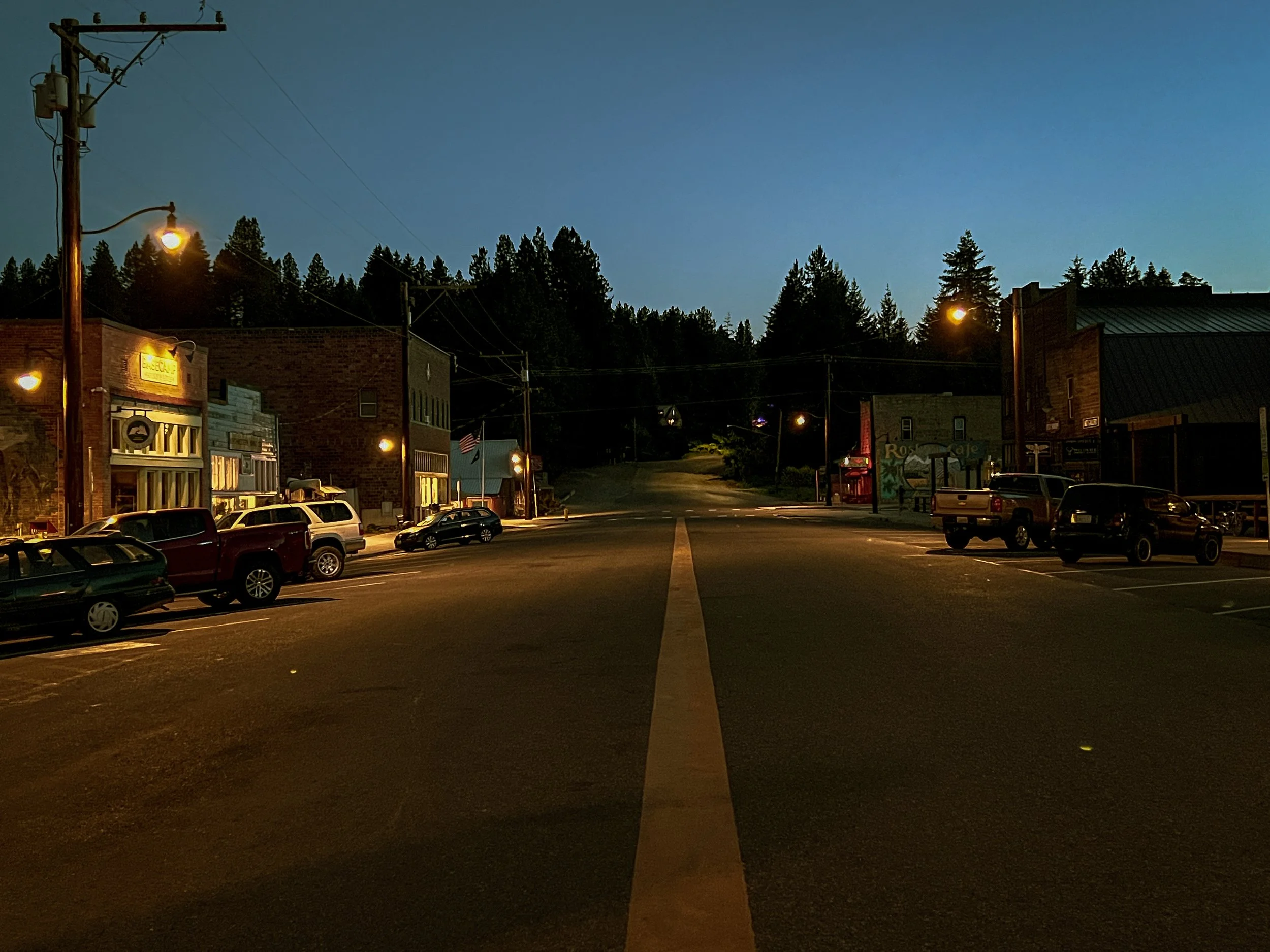
In an effort to keep everything free and easy, it will be up to riders to arrange their own accommodations in Roslyn or Cle Elum. Roslyn presents like a small Alaskan mining town, after all it played one on TV as the backdrop for Northern Exposure. Dr. Joel’s office, the Brick Saloon and Roslyn Cafe are very much still there. Established as a coal-mining company town in the 1880’s, Roslyn reached peak production of nearly 2 million tons by 1910. The historic brick façades and small town character remain but there is a palpable granola-athletic-meets-river guide sensibility to the area with a healthy amount of secondhand tourism from the adjacent Suncadia mountain resort. If Western Montana were an hour and a half from Seattle, it might look a lot like Roslyn.
staging & parking
The start and finish of both Saturday and Sunday’s rides will be at the Roslyn Pioneer Park on the west side of town at the Coal Mines Trailhead. There are ballfields, public restrooms and plenty of available parking. Be sure to note the pay-to-park signage. Roslyn uses a simple ParkMobile app system that makes it easy. Be very mindful not to park in front of people’s houses or block driveways. If it feels crowded at the park, try a block over toward the downtown. There is more than enough street, park and downtown parking without getting in locals’ way. We will have a low-key après gravel set up at the park at the finish of Saturday’s ride with bubblies, refreshers, snacks, chips and plenty of shady grass for taking a load off. We will likely migrate over to the Brick for dinner when the spirit moves us so. No hard timing really, just when things feel right.


Evergreen Mountain Bike alliance
We like to think of Evergreen as the voice of Washington’s mountain bike community. Evergreen (or EMBA) acts as a single point of contact representing thousands of mountain bikers across Washington when working with land managers, politicians and other government agencies, regularly teaming up with a variety of other organizations to work towards common goals of resource protection and recreational access. Last year Evergreen donated more than 10,000 volunteer hours to trail maintenance and building new trails. Learn more about Evergreen’s volunteer Trail Work Parties here.
yakama nation & the teanaway
Long before wagons rail lines carved through Washington’s backcountry, the Teanaway Valley was part of a vast network of Native trails – arteries of culture, commerce, and seasonal survival for the Yakama Nation. These footpaths threaded through high mountain passes, followed watercourses and snaked into lowland meadows, linking the eastern Columbia Plateau with the western Cascades. For the Yakama and their neighbors, the Teanaway was a vital corridor, rich in salmon, berries, roots, and game – cradled between territories and part of a seasonal rotation. Trade routes through the Teanaway carried more than goods; they carried knowledge, kinship, and diplomacy. Beads, obsidian, salmon, horses, and woven goods flowed in all directions, forming an Indigenous economy that predated settler maps and boundary lines by centuries.
Each summer, Yakama peoples followed ancestral migration routes to harvest traditional foods, hunt elk, and gather medicinal plants throughout the Teanaway. The valley’s sweeping grasslands and forested slopes were part of a seasonal round that stretched from the Yakima River Basin to the alpine ridges of the central Cascades. Along the way, well-established trails like the one now mirrored by the Iron Horse State Park trail once led to Kittitas Valley, Cle Elum Ridge, and Snoqualmie Pass – intersections where trade, storytelling, and ceremony shaped relationships with neighboring tribes like the Wenatchi, Klickitat, and Snoqualmie.

food
The Brick Saloon: Washington’s oldest continuously operating bar (est. 1889). Offers standard pub-grub fare plus sometimes live music in the actual bar from Northern Exposure. There is also a running-water spittoon trough – y’know…for spittin’.
Basecamp Books & Bites: Highly-curated bookstore-café-bar hybrid with coffee, snacks, light meals, trail guides – and evening gatherings in their speakeasy lounge.
Roslyn Mexican Grill: Specializes in pre-Hispanic Mexican cuisine – fajitas, enchiladas, tacos – and flavorful margaritas in a warm, vibrant space. The prawn fajitas are so good, I’ve gotten them three times! Just sayin’. This is my go-to spot.
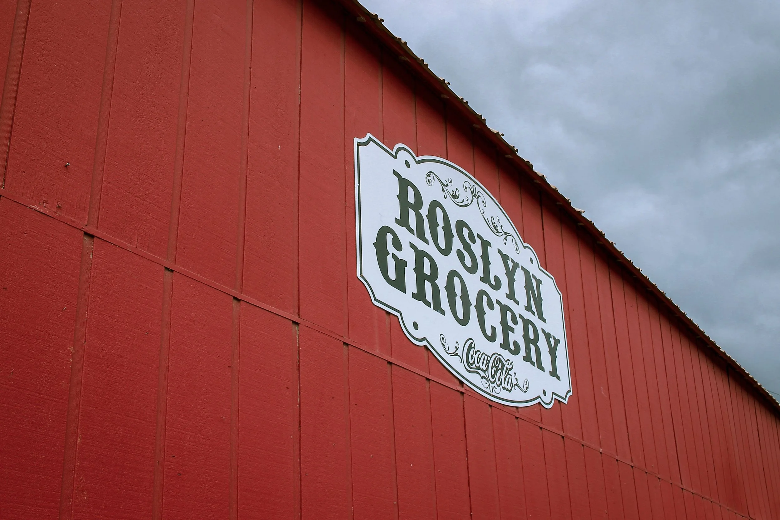
Roslyn Grocery: The usual assortment of necessary goods, produce, snacks, cheesybits, bubblies and brews in a small, old school downtown storefront.
Village Pizza: They call it mountain style pizza and it smells really, really good. This family-run pizzeria is known statewide for its 14″ & 17″ pies – and the local tradition of honeydrizzled crust. HELLO??? Pizza by the slice, salad bar, and delivery available. Located downtown. Quick. Easy. Convenient.
Señor Bones House of Burritos: This Cle Elum spot gets it done just like the name says. Think off-brand Taco del Mar. Hearty burritos, street tacos, quesadillas and the usual array of accompanying goodies.
The Coal Chute Café & Pub: Sits just south of Roslyn on Hwy 903. Serves breakfast, lunch, dinner, desserts, and local brews. Highlights include eggs benedict, crab benedict and wild steelhead.
camping
Cle Elum River Campground: Nestled beneath towering pines along the Cle Elum River. Offers tent and RV sites with picnic tables, vault toilets, and riverside access. Peaceful, shaded, and close to hiking and fishing. Popular but rarely overcrowded.
Wish Poosh Campground: Lakeside camping on Cle Elum Lake. Vault toilets, fire pits, picnic tables, boat launch nearby. A family favorite—good for swimming, kayaking, and casting a line. Feels more “lake vacation” than back‑country, in the best way.
Teanaway Campground: First‑come, first‑served forest service campground in the heart of the Teanaway Community Forest. Primitive but scenic. Dirt roads, vault toilets, room for horse trailers and adventure rigs. Wake up to birdsong and pine‑scented air.
Indian Camp Campground: Along the Middle Fork of the Teanaway River in Teanaway Community Forest. Offers 11 regular tent/RV sites plus two group sites, all with picnic tables, fire rings, vault toilets, and potable water spigots. Equestrian camping allowed on one side of the loop—dogs welcome on leash. First‑come, first‑served; Discover Pass required; no trash service (pack it out). Quiet, scenic, river‑front setting with trails for hiking, biking, horseback riding, and plenty of solitude despite moderate popularity.
Red Mountain Campground: Dispersed‑style camping just off Highway 97. No hookups, no fees—just wide‑open forest, fire rings, and quiet. Ideal for vanlifers, gravel riders, and solitude seekers near Teanaway trails.
Salmon la Sac Campground: Set deep in the Cascades where the Cle Elum River forks. Dozens of sites for tents and RVs. Access to swimming holes—and serious alpine vibes. Gets busy midsummer, but early‑season mornings are magic.
Taneum Campground: A quieter alternative off the beaten path in the Taneum drainage. 20+ sites surrounded by trees and seasonal wildflowers. Vault toilets, no potable water—pack it in.
lodging
Hotel Roslyn: A lovely boutique hotel nestled in the heart of historic Roslyn, featuring 13 beautifully refurbished rooms—each with private kitchenette and key‑code entry. Rustic charm with a soft landing.
The Spruce Moose Inn: Cozy European‑style inn located on Pennsylvania Avenue in downtown Roslyn. Small, quiet, and charming. You’ll be steps from The Brick and all the walkables of downtown.
Huckleberry House: A pet‑friendly historic B&B at the core of Roslyn, full of character and quaint comforts—perfect for a cozy walk-about-town stay.
Suncadia: A sprawling upscale mountain resort in Cle Elum with inn, lodge, condos, vacation homes, golf courses, etc. Oregonians – think Black Butte Ranch near Sisters.
Stewart Lodge: Cle Elum spot adjacent to Safeway, Starbucks and all the charm and bustle of the I-90 highway on-ramp. Gets the job done on the west end of Cle Elum.
Quality Inn Cle Elum: No-frills spot on the east side of Cle Elum. Wedged between a towing lot and an industrial-grade car wash, expect a fairly constant rumble of 18-wheelers and the hum of I-90.
Best Western Plus Snowcap Lodge: A well-rated 3‑star lodge in Cle Elum featuring indoor pool, gym/fitness center, fireside lounge, restaurant/bar, pet‑friendly rooms, and complimentary breakfast.
