

Think of it as the lesser-traveled counterpart to the Dalles Mountain 60. A companion piece of sorts, Japanese Hollow is a fast-rolling circuit of plush hillcountry byways which unfolds as a rambling carpet ride of luxury gravel through the hills, hollows, ridges, highland bluffs and lowland valleys of Wasco County.
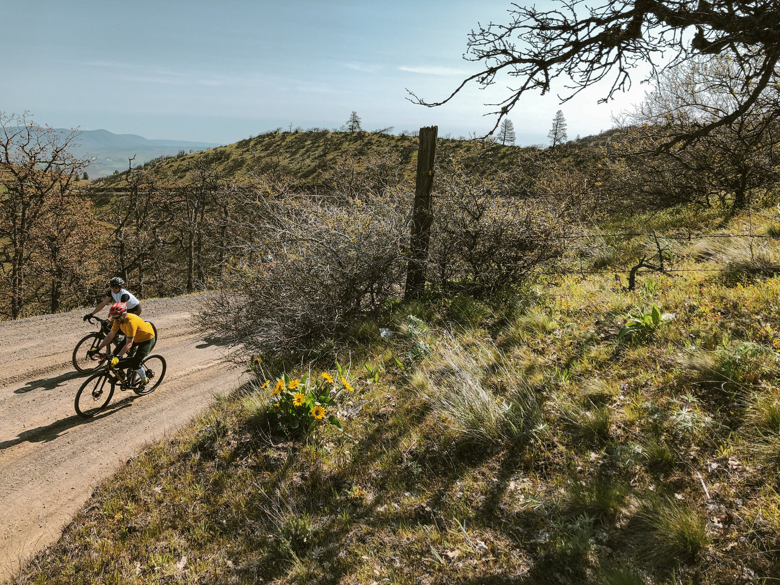
At this stage, one might consider Japanese Hollow a legacy route — one that has existed long enough and has been ridden by so many people that it has taken on a life of its own. It is certainly not the longest, hardest nor the most complex offering in the catalog. It does however, stitch together a unique and accessible patchwork of iconic landscapes within an easily manageable distance and elevation profile. It is fast, fun, simple and visually satisfying — sometimes that’s just what you’re looking for.


This venerable loop stages at Sorosis Park in the highland bluffs overlooking The Dalles, and begins by meandering upward into cherry orchards and hills of Garry Oak, gradually climbing into the expansive rolling plateau of Dutch Flat.
For the uninitiated, this is where the fun begins.
The course eventually corkscrews down, diving deep into Fivemile valley for an abrupt change of scenery. Upper Fivemile climbs gently, crisscrossing cool, shaded creeks all the way to the edge of the Mount Hood National Forest beneath Ponderosa Pine and Douglas Fir. From the high point just beyond mile 20, the evergreen of the National Forest quickly fades back to scrub oak savannah and rolling rangeland, winding downward along Walston Grade and lower Eightmile en route to Japanese Hollow.

Japanese Hollow itself is a lush orchard valley-turned-formidable climb which intensifies as it nears Pleasant Ridge. This one hurts a bit. Pleasant Ridge grants a reprieve up top. Bask in the stoke. You’ve earned it.
Another rollercoaster gravel descent twists, turns and hairpins into yet another smooth agricultural valley. Our course pushes up one final, sweeping gravel climb with sightlines to spare before dropping in to a fast and furious final paved descent back to the edge of town.
If you know where to look there is a curious sequence of neighborhood singletrack leading back into the top of Sorosis Park around the edge of the community college, which drops neatly and conveniently into the parking area via the park’s upper trail system. Optional of course, but certainly worth the effort if you’ve got the legs.


NOTEWORTHY:
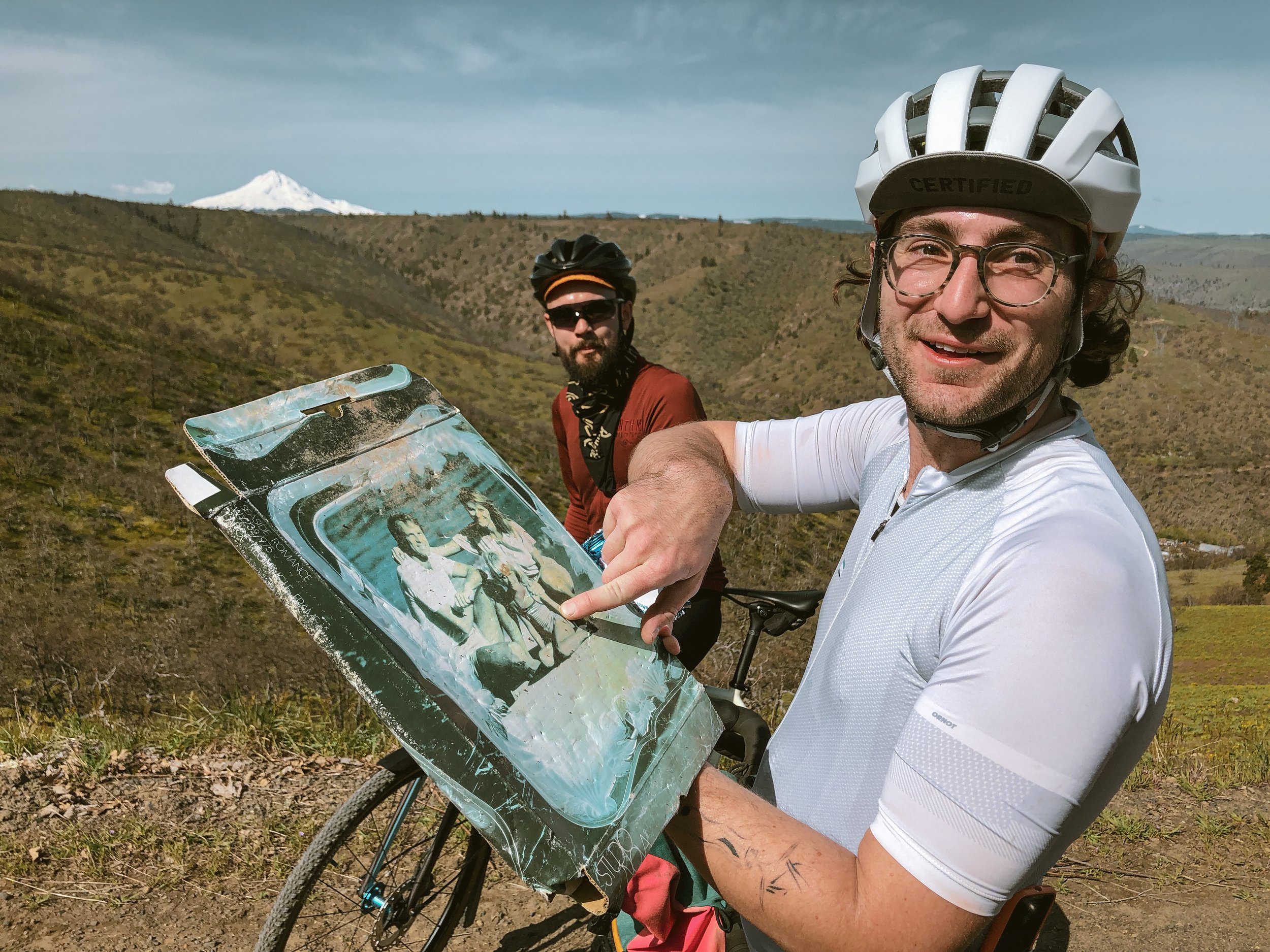
The front end of the Skyline climb has recently been topped with an intermittent layer of mid-grade chunk the texture of human-scale kitty litter. Fortunately it goes away near the leaning barn. You know the one from the pictures.
A water filter is highly recommended. Ideal refill location is noted within all versions of the route at the crossing of upper Fivemile Creek. You will want to top off even if you still have plenty of water by this point. Running water in the lower valleys will likely be contaminated with agricultural runoff. You’ll thank us later.
These are all open, working ranch roads with traffic in both directions. Do not ride with the assumption that these are ever any kind of closed course. Keep it under control on descents and stick to the right-hand side around blind corners. Local drivers will not be expecting cyclists and these roads get a fair amount of traffic.


STANDARD EDITION
55.3 MILES
5395 FEET
ROUTE FORMAT: LOOP
SURFACE: 70% smooth maintained gravel, 30% paved
TIRES: MINIMUM OF 40C
BIKE: CYCLOCROSS/GRAVEL
WATER/SERVICES: NO SERVICES. WATER FILTER REcommended
FULL RIDE WITH GPS ROUTE + GPX FILE
STANDARD EDITION IN REVERSE ORIENTATION
STANDARD EDITION with pleasant ridge cutoff
This edition simply sidesteps the namesake hollow, cutting out both a major descent and subsequent climb, keeping to the Pleasant Ridge highland plateau and is ideal for those looking for a slightly milder and more succinct experience.
42.8 MILES
4427 FEET
ROUTE FORMAT: LOOP
SURFACE: 70% smooth maintained gravel, 30% paved
TIRES: MINIMUM OF 40C
BIKE: CYCLOCROSS/GRAVEL
WATER/SERVICES: NO SERVICES. WATER FILTER REcommended
FULL RIDE WITH GPS ROUTE + GPX FILE
REVERSE variation WITH PLEASANT RIDGE CUTOFF
It has taken several years to finally realize that Japanese Hollow is just as good in reverse. And while we’re at it, that the namesake hollow doesn’t really add much to the experience but extraneous mileage. So if there were simply one version to rule them all, this would be it.
As we like to say - All Killer, No Filler.
42.8 MILES
4411 FEET
ROUTE FORMAT: LOOP
SURFACE: 70% smooth maintained gravel, 30% paved
TIRES: MINIMUM OF 33C
BIKE: CYCLOCROSS/GRAVEL
WATER/SERVICES: NO SERVICES. WATER FILTER REcommended
FULL RIDE WITH GPS ROUTE + GPX FILE
Terms of Use: As with each adventure route guide published on OMTM.CC, should you choose to cycle this route, do so at your own risk. Prior to setting out check current local weather, conditions, and land/road closures. While riding, obey all public and private land use restrictions and rules, carry proper safety and navigational equipment, and of course, follow the #leavenotrace guidelines. The information found herein is simply a planning resource to be used as a point of inspiration in conjunction with your own due-diligence. In spite of the fact that this route, associated GPS track (GPX and maps), and all route guidelines were prepared under diligent research by the specified contributor and/or contributors, the accuracy of such and judgement of the author is not guaranteed. OMTM.CC, its partners, associates, and contributors are in no way liable for personal injury, damage to personal property, or any other such situation that might happen to individual riders cycling or following this route.