

this Mixed-terrain adventure out of north plains showcases some of the best gravel, dirt, paved/unpaved, crumbling and forgotten roads in washington county. this route was originally plotted by unpaved + omtm for our 2016 group ride series.
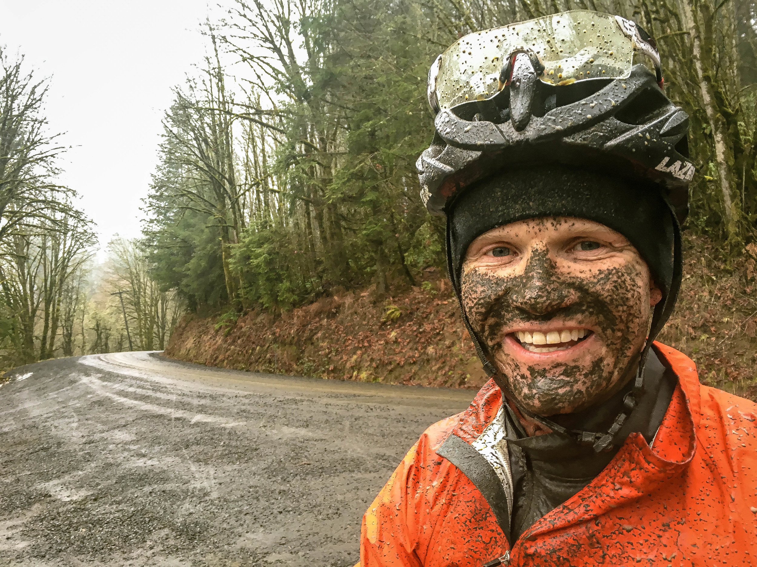
Sharing a few common segments with Bacona Backroads and the Buxton Bacona Bonanza this concise loop throws in some related variations into the mix. The little known western Wildcat Mountain contains many secrets and traversing it is always an adventure.


OVERVIEW
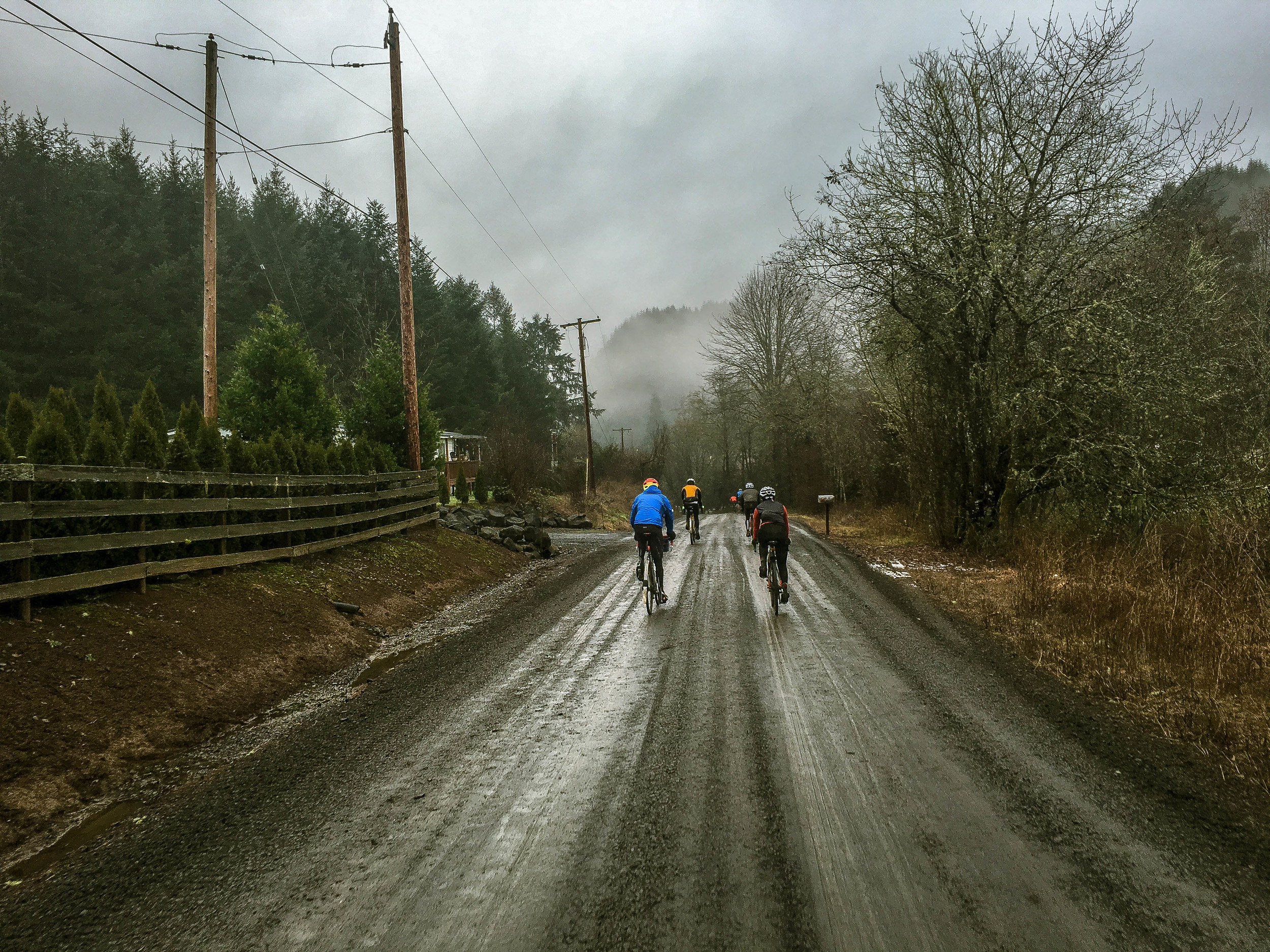
Starting in North Plains, this concise loop rolls gently through the quiet farming communities of Greenville and Kansas City before veering north, across Highway 6 and picking up Parson Road, a decommissioned stretch of doubletrack in varying stages of natural reclamation. Parson and Hayward ascend to the gate of Wildcat Mountain, another sublime stretch of forgotten forest road. Be sure not to miss the tricky connector at mile 21, which pushes left through slightly overgrown singletrack before intersection the more established Wildcat connector leading to Timber Road. Heading east again, Strassel + Staley roads dip through Poliwaski and Paisley canyons before crossing Highway 26 into Buxton, grinding up Green Mountain and finally dropping down into Banks, where you will find water, snacks and restrooms readily available. The final stretch rolls east skirting forest and field on a mix of gravel and tarmac, finishing back in North Plains.


Soothe your saddlesore countenance, belly up for beers at the Rogue Pub and get to grammin! Be sure to tag your photos #hellofthenorthplains.
55.3 MILES
4581 FEET
ROUTE FORMAT: LOOP
SURFACE: 60% maintained gravel, 10% unmaintained forest doubletrack, 10% decommissioned/overgrown forest trail, 20% PAVED
TIRES: MINIMUM OF 32c, 35c+ recommended
BIKE: CYCLOCROSS/GRAVEL/RIGID 29ER
WATER/SERVICES: water/food in north plains at the start/finish. two bottles recommended
FULL RIDE WITH GPS ROUTE + GPX FILE
hell of the north (plains) hayward option
This version bypasses the gated section of Wildcat Mountain Road, Timber + Strassel Roads, opting instead to continue following Hayward to Hwy 26/Pihl Road. The Wildcat section is certainly an option, but we'll likely make the call day-of when we can get a visual on the conditions. Unraveling the mystery...one gated forest road at a time.
43 MILES
3615 FEET
ROUTE FORMAT: LOOP
SURFACE: 60% MAINTAINED GRAVEL, 10% UNMAINTAINED FOREST DOUBLETRACK, 10% DECOMMISSIONED/OVERGROWN FOREST TRAIL, 20% PAVED
TIRES: MINIMUM OF 32C, 35C+ RECOMMENDED
BIKE: CYCLOCROSS/GRAVEL/RIGID 29ER
WATER/SERVICES: WATER/FOOD IN NORTH PLAINS AT THE START/FINISH. TWO BOTTLES RECOMMENDED
FULL RIDE WITH GPS ROUTE + GPX FILE
Terms of Use: As with each adventure route guide published on OMTM.CC, should you choose to cycle this route, do so at your own risk. Prior to setting out check current local weather, conditions, and land/road closures. While riding, obey all public and private land use restrictions and rules, carry proper safety and navigational equipment, and of course, follow the #leavenotrace guidelines. The information found herein is simply a planning resource to be used as a point of inspiration in conjunction with your own due-diligence. In spite of the fact that this route, associated GPS track (GPX and maps), and all route guidelines were prepared under diligent research by the specified contributor and/or contributors, the accuracy of such and judgement of the author is not guaranteed. OMTM.CC, its partners, associates, and contributors are in no way liable for personal injury, damage to personal property, or any other such situation that might happen to individual riders cycling or following this route.